
Escarpment and Valley Heads
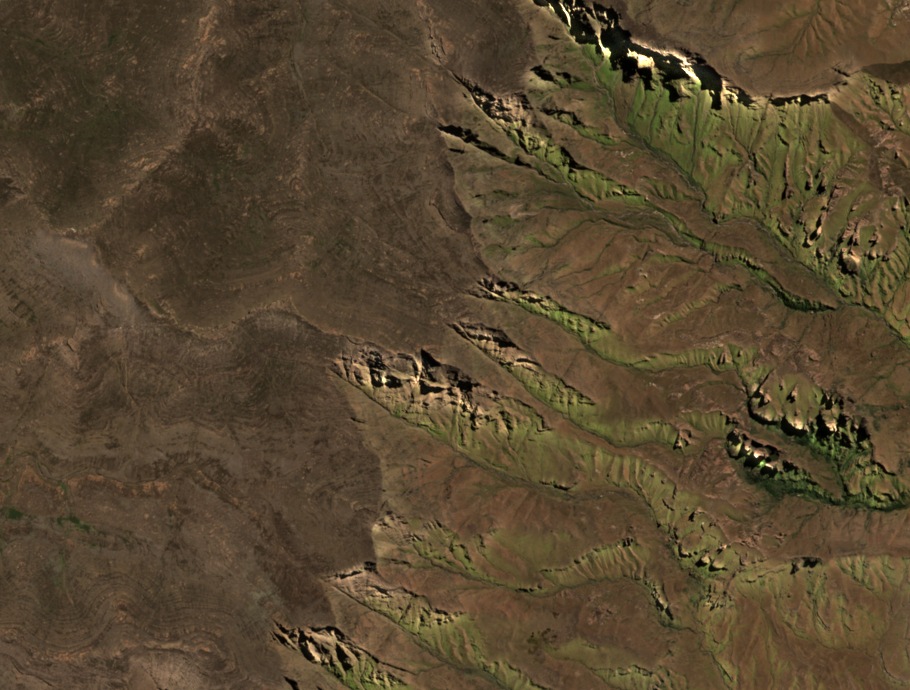
A Sentinel-2 image from 2 October 2026 shows Wilson's Peak near the centre of frame, with the broad Lesotho upland spread across the plateau and tributary valleys cutting sharply into the escarpment face. The 2006 field synthesis places this as the southern end of a Giant's Castle–Wilson's Peak stretch of escarpment along the border crest.
Geology and Survey Values
Layered Jurassic flood basalts cap lower Clarens Sandstone across this part of the Maloti-Drakensberg escarpment, a stratigraphy described in that synthesis for the broader profile. GeoNames records an eastern escarpment point with a model elevation of 3,190 m and a higher ridge point to the west with a model elevation of 3,286 m. Ezemvelo KZN Wildlife and the Mountain Club of South Africa KwaZulu-Natal both publish 3,276 m for Wilson's Peak in their guides.
Robert Wilson and Local Nomenclature
The Mountain Club of South Africa KwaZulu-Natal attributes the name to Robert Wilson, a farmer and geographer based at Underberg, and links the same name to Wilson's Cave. The Ezemvelo KZN Wildlife brochure for the Giant's Cup Hiking Trail lists Wilson's Peak among skyline landmarks alongside Mashai and Walker's Peak, and the Lesotho government's nomination map places it on the escarpment south of Rhino Peak — a cluster of separately named high points defining the topographic character of this southern section of the Drakensberg.