
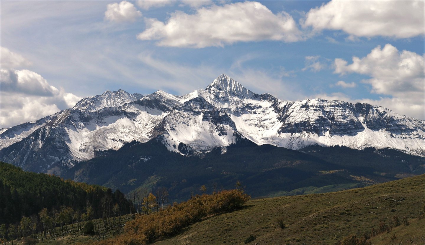
An Intrusive Rock Core Brought to the Surface
The summit and surrounding high points are underlain by what USGS describes as the Wilson Peak stock, a composite intrusive body formed underground rather than from surface lava flows. Geologists record three phases within it, running from granogabbro through granodiorite to quartz monzonite, representing successive stages of crystallization deep in the crust. Erosion over geologic time stripped away overlying material and exposed this once-buried igneous mass as the rugged terrain visible in the Lizard Head Wilderness today.
Silver Pick and the Mining District's Record
Historic patented mining claims cluster in Silver Pick Basin and the adjoining drainages below the peak. USGS records document a reported ore shipment from Silver Pick as early as 1882, with most of the district's production concentrated between 1890 and 1898. According to USGS's historic district accounting, Silver Pick contributed the majority of the area's measured gold value rather than silver, a qualification the USGS itself attaches to that figure.
A Summit Among Similar Names
The similarity between Wilson Peak and Mount Wilson has generated persistent confusion in maps and records. The two are entirely separate summits: Mount Wilson lies to the south while Wilson Peak sits to the north. USGS and Forest Service sources distinguish both from Gladstone Peak and El Diente, treating each as an individually named high point with its own mapped position rather than a variant of a single feature.