
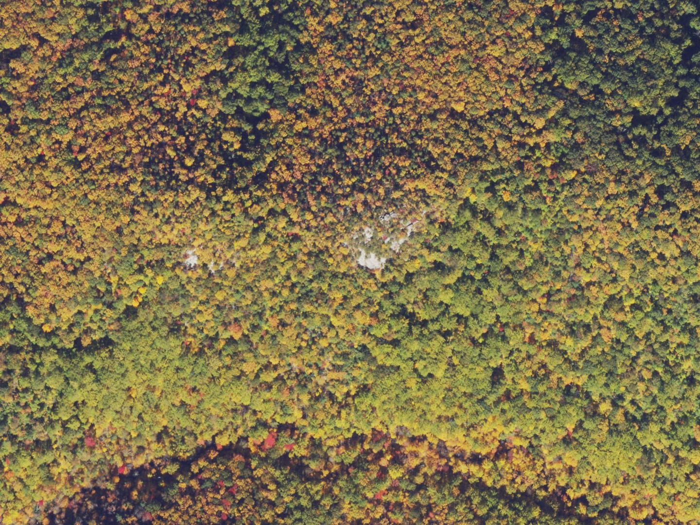
Granite beneath the ridge
The U.S. Geological Survey’s geologic map places the ridge on Old Rag Granite, a light-coloured rock that crystallised roughly 1.06 billion years ago. The outcrops give glimpses of that bedrock through the forest. A 2013 account by the Potomac Appalachian Trail Club describes looking north to Oventop Mountain, west to the Blue Ridge crest and south to Hazel Mountain from the rocks. Below the ridge, the Hazel River runs past a rock shelter and small waterfalls.
White Rocks on the map
The U.S. Board on Geographic Names recorded the official name in 1933. The federal gazetteer classifies the outcrops as a pillar landform. The 2022 Thornton Gap topographic map places White Rocks on the ridge above the Hazel River and labels the trail that takes its name from them.
From farmland to forest
The National Park Service records former farms and homesites in Hazel Country and an old cemetery along White Rocks Trail. When Shenandoah National Park was established in 1935, Virginia acquired land by purchase and condemnation, and some residents were forced to leave. As fields went out of use, forest grew back. Congress designated parts of the park as wilderness in 1976. White Rocks Trail leads into that protected area.