
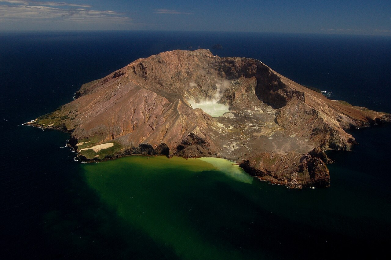
Structure and Summit
The island forms only the uppermost part of a submarine volcanic edifice considerably larger than the surface terrain suggests. Mount Gisborne, at 321 metres, is the highest point on the island. Below it, the main crater floor lies substantially lower and slopes toward the area of the former sulphur workings, giving the interior a tilted, bowl-like character distinct from the outer rim.
Whakaari is part of the Taupō Volcanic Zone, sharing the same tectonic setting as the active volcanoes of the North Island interior.
Industrial and Eruptive History
Sulphur mining began on the island in 1885. In 1914 a crater wall collapsed, destroying the workings and killing ten people. That event was a structural failure, not a volcanic eruption. A separate mining venture subsequently started in the 1920s.
On 9 December 2019 an explosive eruption occurred while visitors were present on the crater floor. GeoNet records that the eruption removed the crater lake and formed new vents. The event was fatal and is distinct in both mechanism and circumstance from the 1914 collapse.
Name and Identity
James Cook assigned the English name White Island in 1769. The official dual name Whakaari / White Island was adopted in 1997, as recorded by GeoNet.