
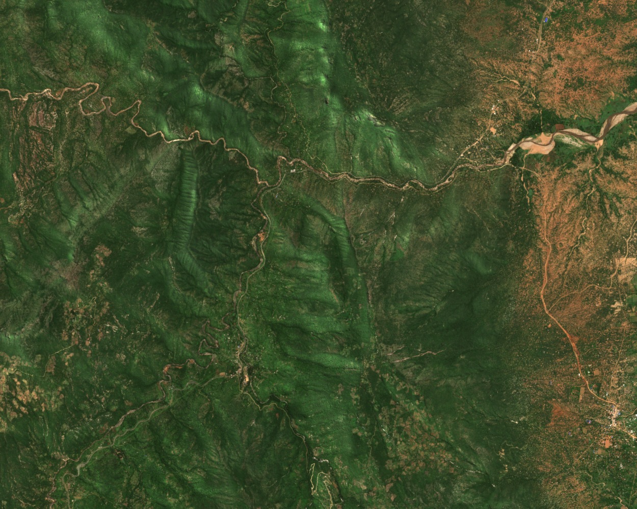
Landform and Rainfall Gradient
Rainfall can reach about 1,200 millimetres a year in the highlands and falls to about 400 millimetres on the plains. Seasonal and perennial streams have cut ravines into the slopes. The intervening spurs are called korok in Pokot. They divide the terrain and have also helped define local social territories.
The Wei Wei Valley Irrigation System
Between 2006 and 2007, Matthew Davies and his team mapped 72 irrigation channels in the Wei Wei Valley. Fifty-nine were in use and 13 had been abandoned. At hard-to-cross rock faces and ravines, farmers used stone linings, embankments or wooden troughs to carry water onto the hillsides.
People recalled who helped build individual channels by naming the age groups to which the builders belonged. Davies compared those accounts with archaeological evidence and traced an expansion of intensive farming into the hills during the nineteenth century, after earlier settlements that combined crops and livestock.
Satellite Record and Land-Cover Change
A later study combined five Landsat surveys taken in dry seasons from 1986 to 2017 with discussions held in local communities between March 2017 and January 2019. The researchers used the land categories supplied by Pokot residents to interpret how the vegetation and fields had changed. In the photograph above, a Sentinel-2 scene from May 2026, the ridges west of Sigor show how sharply that terrain breaks into ravines.