
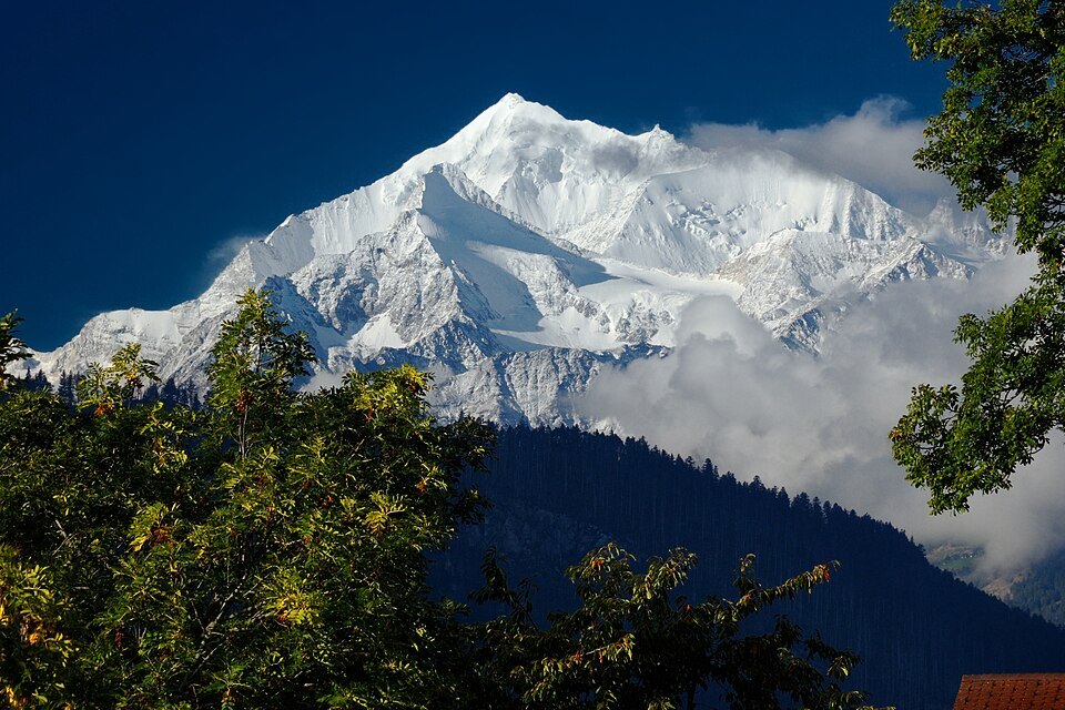
Form and Geographic Setting
The Weisshorn culminates at 4,505 metres above sea level, placing it among the highest summits of the Pennine Alps. It lies in the canton of Valais, between the Val d'Anniviers to the west and the Zermatt valley to the east — the valley known for its concentration of four-thousanders, including Monte Rosa and the Matterhorn. The pronounced pyramidal form of the Weisshorn, with its pure white slopes, has earned the mountain a reputation among mountaineers as the most beautiful peak in the Alps and in Switzerland. This assessment is subjective, but widely held.
First Ascent 1861
On 19 August 1861, the Irish physicist John Tyndall, together with the mountain guides J. J. Bennen and Ulrich Wenger, achieved the first ascent of the Weisshorn. The climb proceeded from Randa via the east ridge — a route that remains the standard route to this day. The Weisshorn Hut, used on the present-day normal route, is a later construction; it did not yet exist at the time of Tyndall's ascent. The choice of the east ridge as the line of ascent shaped the subsequent history of the mountain's exploration in a decisive way.
Rockfall at Randa 1991
In April and May 1991, two successive rockfalls occurred on a rock face above the village of Randa, on the eastern side of the massif below the Bis Glacier. These events affected the lower part of the massif on the Swiss side and illustrate the geological dynamics to which the Weisshorn massif — like many high-alpine locations — is subject.