
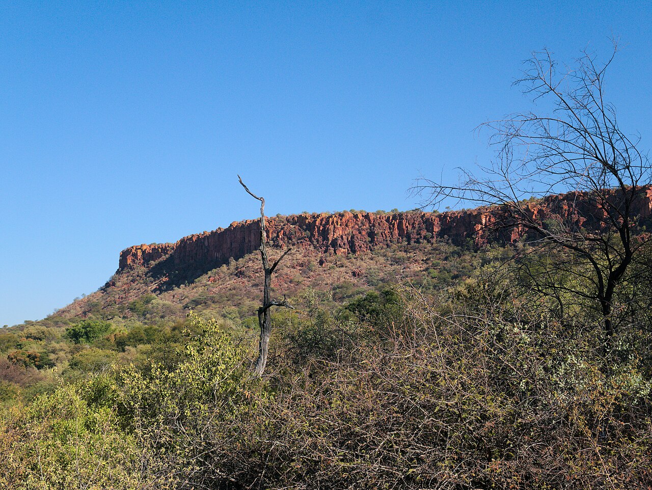
Red Sandstone Formed by Ancient Rift-Basin Sedimentation
The Geological Survey of Namibia identifies the plateau as composed of hard flat-lying sandstone resting over shale and mudstone, deposited in ancient rift basins. Differential erosion exposed the resistant cap and carved the steep red-sided escarpments visible today. Springs at the foot of the plateau tap water moving through the porous rock layers above.
11 August 1904: German Colonial Forces and the Ohamakari Confrontation
On 11 August 1904, German colonial forces confronted Herero fighters near Ohamakari at Waterberg. Following that engagement, German forces drove the Herero population into the Omaheke desert, where the absence of water had lethal consequences. These events form a documented chapter in the genocide of the Herero and Nama, recorded in the German Federal Archives.
Waterberg Plateau Park: 405 Square Kilometres Gazetted in 1972
The Namibia Ministry of Environment established Waterberg Plateau Park across 405 square kilometres in 1972, designating the plateau and its surrounding woodland as a refuge for threatened and rare animal species. The park functions as a managed breeding area, and animals have been relocated from it to other conservation areas across Namibia.