
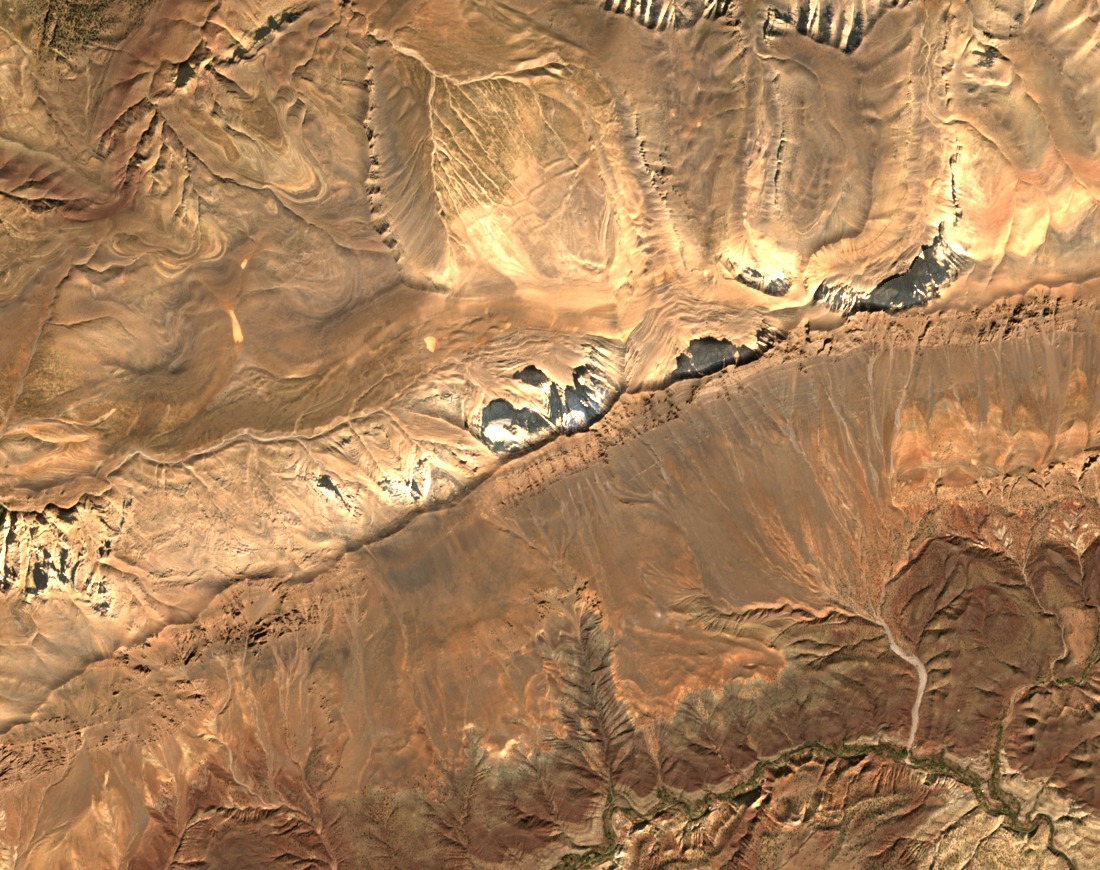
A Valley Held Between Faulted Ridges
Morocco’s Hassan II Academy describes the Aït Bouguemez valley as a syncline, a trough formed by folded rock. Fractured ridges of mostly Jurassic sedimentary rock flank it. Waougoulzat forms the southern ridge and Tizal–Azourki lies to the north.
Frost Fracture and Scree on the South Face
On shaded slopes of Waougoulzat and nearby Igoudamène, botanist Mohammed Rhanem documented rock fractured by frost and scree that had been moved downslope. The loose stone in these gullies is one part of the ridge’s terrain above the valley.
The Izourar Depression and Its Water Sources
Above about 2,500 m, Izourar holds a shallow seasonal wetland. Landslide debris between Azourki and Waougoulzat formed a natural barrier in the depression. Researchers at the Institut Scientifique in Rabat describe snowmelt and thunderstorms feeding the wetland.