
Geology of the Canyon Walls
Lava once travelled downhill across the western side of the shield volcano, spreading into relatively thin layers. On the east side of the canyon, later flows pooled in a depression and formed thick layers. A U.S. Geological Survey interpretation connects that depression with an ancient collapse of the shield. The Waimea River and its tributaries gradually cut through the volcanic rocks, exposing these different stacks on either side.
In 1960 Gordon Macdonald, Dan Davis and Doak Cox described the units of the Waimea Canyon volcanic series for the U.S. Geological Survey. The Olokele Member includes some of the thicker flows. A later survey synthesis published in 2014 reports ages from 3.84 to 3.81 million years for particular younger flows near the tops of the Olokele and Makaweli Members.
The 1929 Aerial Record
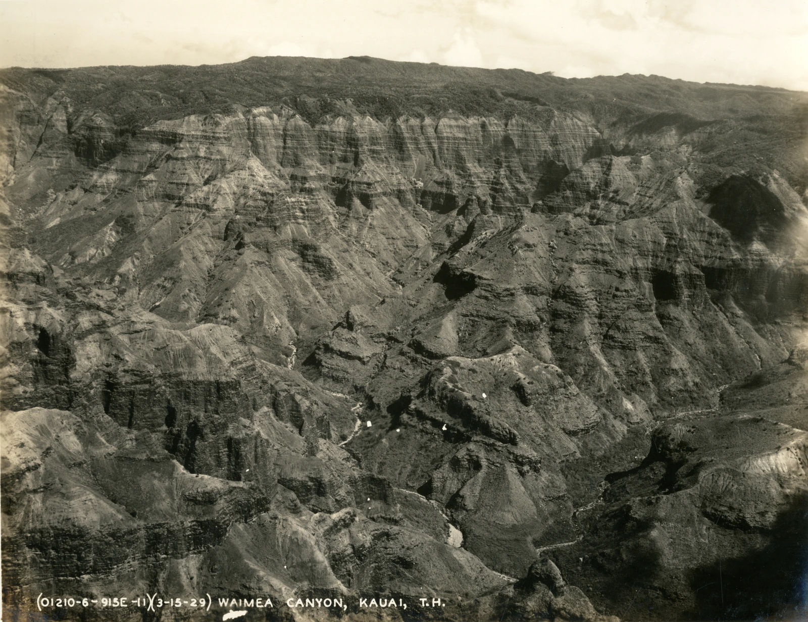
The U.S. Army Air Corps photograph carries the date 15 March 1929 in its original inscription. It shows long bands crossing the cliff faces, interrupted by gullies that run down into the main canyon. The print, held at the University of Hawaiʻi at Mānoa, records how deeply water had already cut the older volcanic rock.
Kōkeʻe Uplands and Cultural Use
On the uplands above the canyon, the State of Hawaiʻi’s master plan records plant gathering for hula and for traditional crafts as part of life in Kōkeʻe. These practices tie the forests to communities across Kauaʻi, along with older routes and sites that connect the higher ground to the coast.
In 1935 a Civilian Conservation Corps camp was built at Kōkeʻe. Corps workers planted trees in the region to limit soil loss, adding another chapter to the history visible from the rims. The state plan records that some of the mature tree stands in the parks date to that work.