
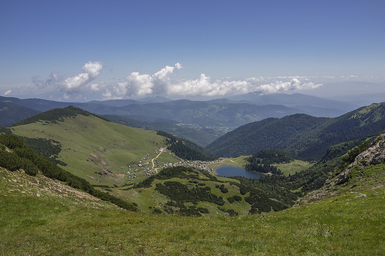
Nadkrstac and the Upland
Nadkrstac at 2,112 m is the highest point of the Vranica massif, documented in Central Bosnia Canton records. Canton sources note views from the summit toward the distant ridges of Vlašić and Ločika. The massif rises above Fojnica and its upper terrain shifts from open ridge to sheltered basin as the land falls toward the lake.
Prokoško Lake and Its Glacial Basin
Prokoško Lake occupies a glacially formed depression at 1,636 metres, an origin documented in both the Canton development strategy and the Fojnica municipal environmental plan. The Central Bosnia Canton planning report records a maximum lake depth of 13 metres.
Katuni and the Protected Pastoral Landscape
The slopes and flats surrounding Prokoško Lake have long supported seasonal pastoral settlement. The Canton plan records that traditional highland shelters known as katuni were built with log walls and wooden roofing, structures tied to the rhythm of summer grazing in the upland basin. This same basin falls within the protected landscape established by a Central Bosnia Canton law adopted in 2005.