
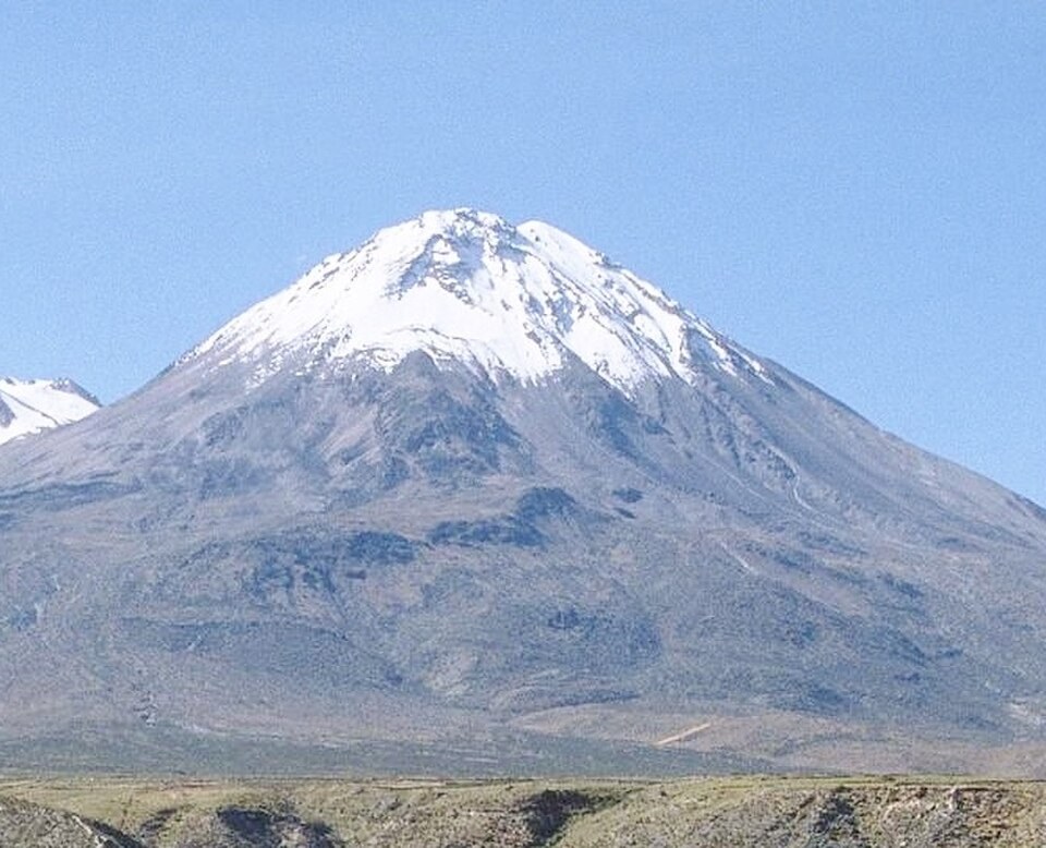
Composition and Stratigraphy
The lavas of Yucamane are andesitic and dacitic. Flows emitted after glacial retreat cover earlier moraines, a superposition that allows the sequence of events to be established: glaciers first shaped the terrain, and eruptions subsequently deposited material over those landforms.
Eruptive History
The IGP documents scoria layers from three or more eruptions, which the institute places several millennia back. The Smithsonian Institution records a confirmed eruption approximately 3,300 years ago, evidence of an explosive phase that left recognizable deposits around the edifice.
Reading the Volcanic Landscape
The IGP hazard map distinguishes ashfall deposits, lava flows, and channeled flows. Deposits from ancient eruptions record the direction of the material and indicate which sectors of the terrain accumulated volcanic products during each episode.