
Stratigraphy and constructive phases
The SGC describes three phases of dome construction and destruction in the history of Sotará, accompanied by pyroclastic currents and some lava flows. The deposits of each phase allow the evolutionary sequence of the present cone to be distinguished from the preceding Pre-Sotará edifice. The large ignimbritic deposits found in the region correspond to that ancient edifice and not to the cone that today defines the mountain's profile.
Hydrothermal activity and seismicity
The SGC documents fumaroles, thermal springs, and seismicity in the Sotará system, with no historical eruptions recorded for this volcano. A study on the 2010–2012 volcanic unrest used instrumental observations to characterize a volcano whose location presents demanding monitoring conditions. Sucubún, situated to the south, is a distinct eruptive center.
Geography of the inter-departmental boundary
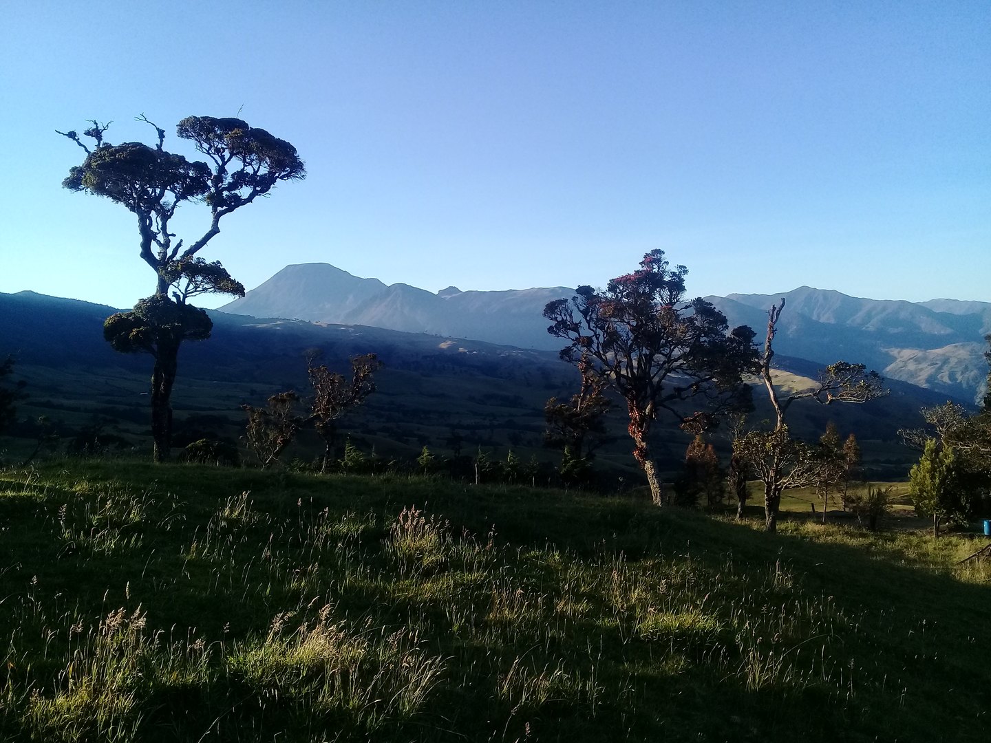
Sotará's position on the border between Cauca and Huila gives it a distinctive place within the Colombian Central Cordillera. The caldera inherited from Pre-Sotará shapes the topographic framework within which the modern cone sits. Cerro Gordo, on the southern rim of that caldera, and the centers Cerro Negro and Cerro Azafatudo complete a diverse volcanic landscape that the SGC has mapped distinguishing each of its components.