
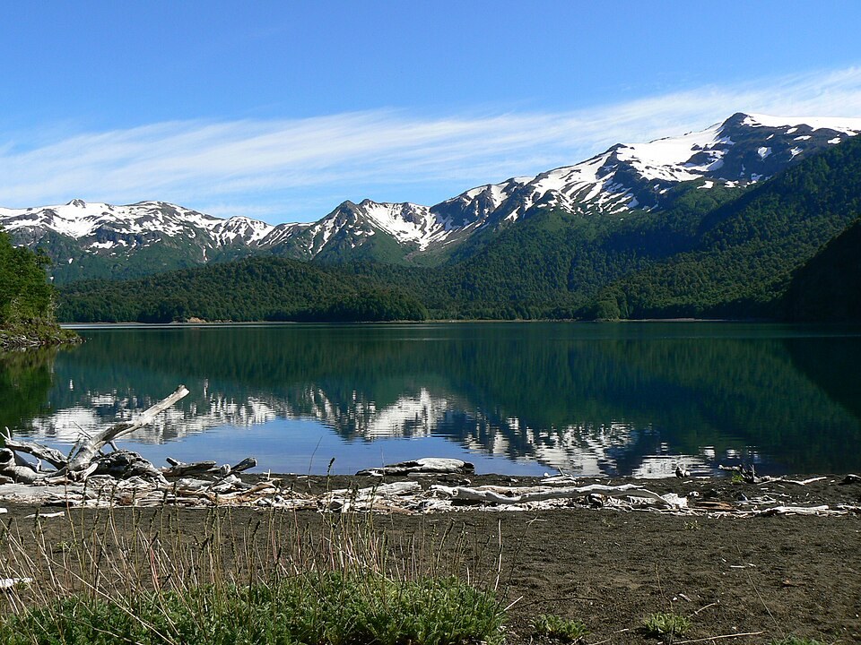
Volcanic morphology
Mountain cartography identifies the slopes and the glacier on the eastern face as defining features of this edifice. The stratified deposits, including flows and lahars, document the geological history of Sierra Nevada. The neighbouring Llaima, an active volcano, influenced the formation of Lake Conguillío.
History of the protected area
The Conguillío forest reserve was created in 1950, became a national park in 1970, and in 1987 was unified with Los Paraguas. The slopes of Sierra Nevada were incorporated within that boundary together with the forests and the lake.
Vegetation and landscape
On the shores of Lake Conguillío and on the slopes of Sierra Nevada grow forests of monkey puzzle trees and coihues. Vegetation varies in composition and structure from the lake shore to the ridge, reflecting the gradients of altitude and volcanic substrate in this part of La Araucanía.