
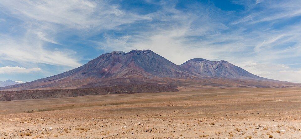
Ancient collapse and reconstruction
The western sector preserves avalanche deposits produced by the collapse of an earlier edifice. That failure left a horseshoe-shaped escarpment, and the more recent cone grew over that relief. The lava flows covering the upper sectors are of viscous dacite and display well-defined steep fronts, a morphology characteristic of that material.
Eruptive history
The SERNAGEOMIN data sheet records a major eruption approximately 11,650 years ago. The Global Volcanism Program also records episodes of historical observation with varying degrees of certainty. The year 1960 appears in that database with a classification of uncertain, and therefore cannot be considered a confirmed eruption on that date.
Geography and nomenclature
San Pedro is located at −21.888° latitude and −68.391° longitude. San Pablo, its eastern neighbour, is a separate volcanic edifice with its own history. Both form part of the San Pedro–San Pablo system recognised in SERNAGEOMIN inventories, but each constitutes an independent geographic entity. The elevation of 6,145 metres corresponds to the value published by that agency.