
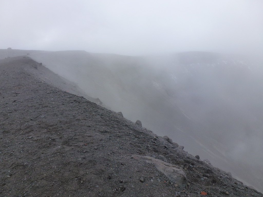
The Los Coconucos chain and the Paletará caldera
The Colombian Geological Survey (SGC) identifies at least fifteen eruptive centres distributed along the Los Coconucos chain and links them to the Paletará caldera. This connection, established by the SGC, positions Puracé as part of a broader volcanic system rather than an isolated edifice. Pan de Azúcar occupies the southeastern end of the chain.
Eruptive history: from the nineteenth century to the 1949 incident
Explosive eruptions were recorded throughout the nineteenth and twentieth centuries, progressively modifying the morphology of the crater. On 26 May 1949 an eruption caught a group of students from the Universidad del Cauca who were ascending toward the summit, an episode recorded with precise date and circumstances in the volcano's historical chronicle.
Geographic position and physical characteristics
Puracé is an andesitic stratovolcano situated at the northwestern end of the Los Coconucos chain in the Cordillera Central of Colombia. The Smithsonian Institution records its elevation at 4,650 metres, and its crater has a diameter of approximately 600 metres, a form that reflects the successive eruptive episodes documented throughout its history.