
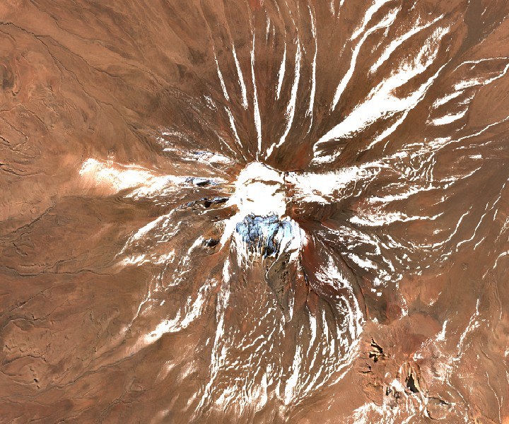
Geology and form
Its conical silhouette stands out within the alignment of stratovolcanoes that runs across the Puna de Atacama. Andesite samples collected on its flanks have been the subject of petrological analysis published in the Revista Geológica de Chile, though the available data do not allow specific eruptive episodes to be identified.
Cartography and elevation
The map of the Instituto Geográfico Militar of Chile, the reference used by Andeshandbook, records the summit at 6,023 m. Other ascent accounts cite 6,045 m.
Climbing history
On 13 October 1977, József Ambrus and Jaime Sepúlveda reached the summit in the volcano's documented sporting ascent. Cartography produced by the Pontificia Universidad Católica de Chile places Palpana within the cultural landscape of the Alto Loa communities, a territory where the mountain forms part of the region's geographical setting.