
Morphology and summit caldera
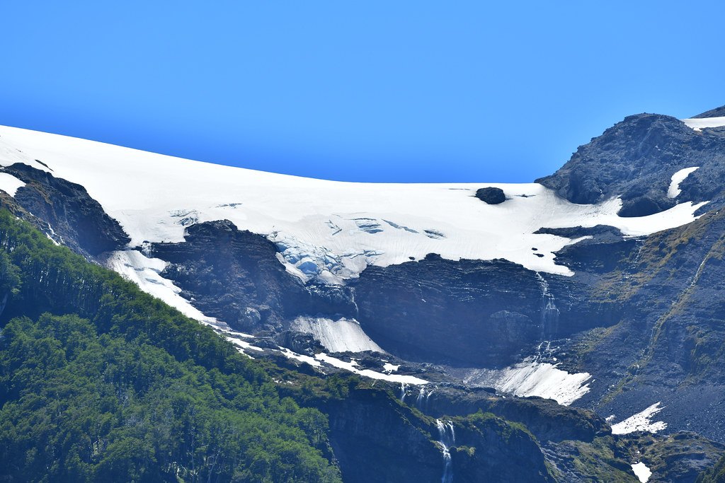
The summit of Michinmahuida has a saddle-shaped profile, the result of an elongated caldera extending approximately 3 km along its major axis. The ice covering the volcanic edifice partly conceals this summit depression.
The early Holocene eruption that deposited the Amarillo Ignimbrite may have formed the summit caldera. The ignimbrite deposit indicates a pyroclastic flow that occurred during that period.
The nineteenth-century eruptions: Darwin and the lahars of 1835
The Smithsonian Institution records two nineteenth-century accounts. The first is an observation of activity noted by Charles Darwin in 1834. The second corresponds to a documented eruption between February and March 1835, during which a lava flow descended from a flank crater and lahars reached Punta Chana.
Glaciovolcanic landscape and regional context
The ice cover is a prominent feature of Michinmahuida and defines its profile as seen from the shores of Lake Reñihué. The volcano forms part of the Chilean volcanic arc in the Los Lagos Region, integrated into a system of river basins and fjords of northern Patagonia.