
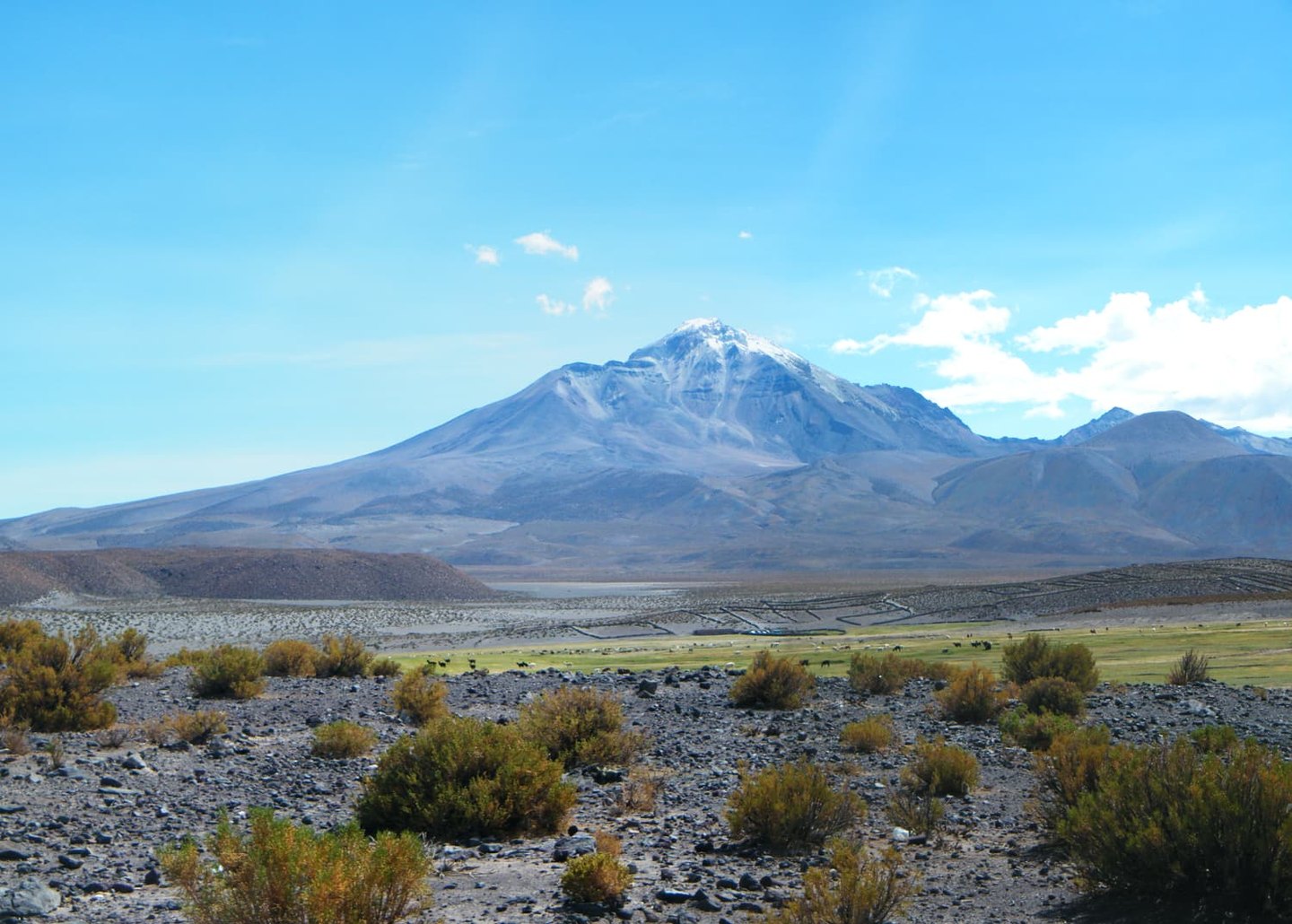
Crater morphology and post-glacial lava flows
At the western end of Isluga's summit ridge lies a crater of about 400 m. The elongated ridge that culminates in that crater defines the volcano's profile as seen from the surrounding altiplano.
Post-glacial lava flows are especially visible on the lower part of the southern flank, where the raised levees of some lava channels can be made out — a morphology characteristic of flows that retain their margins once solidified.
Documented eruptive history
The Smithsonian Institution has compiled a historical record of Isluga spanning eruptive episodes from the nineteenth and twentieth centuries. The 1878 lava flow is one of the events included in that sequence of historical activity.
The national park and Aymara culture
Parque Nacional Volcán Isluga was established on 3 January 1967 and protects part of the altiplano landscape of Tarapacá, including high-altitude lagoons and high-Andean ecosystems.
The village of Isluga has a church declared a Historic Monument and is home to festivals of Aymara tradition documented by CONAF. It is a community with its own cultural identity and recognized architectural heritage, independent of the volcanic edifice.