
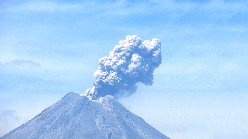
Formation of the horseshoe scar and relationship with Nevado de Colima
Located about six kilometres south of Nevado de Colima, the volcano grew within a south-facing horseshoe scar, a feature that records debris avalanches predating the current edifice.
The January 1913 eruption
Between 17 and 24 January 1913 an eruptive sequence unfolded whose principal episode occurred on 20 January. The explosion reduced the summit by approximately 100 m and formed the crater. Ash reached Saltillo, more than 700 km away, according to UNAM records.
The July 2015 collapse
On 10 and 11 July 2015 the lava dome was destroyed, generating flows of volcanic material and gases that descended through the ravines. According to measurements by Capra, the flow down Montegrande travelled approximately 10.5 km and that down San Antonio reached approximately 6.5 km. The new crater opening channelled a subsequent lava flow.