
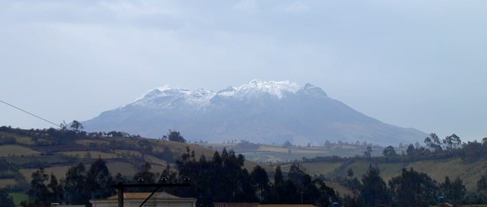
Two edifices, one shared ridge
La Plazuela and Mundo Nuevo are the two main components of the complex. Their partial overlap produces an elongated ridge morphology trending NE–SW. The SGC assigns a diameter of approximately 600 m to the crater of the La Plazuela sector and approximately 200 m to that of Mundo Nuevo. These figures correspond to those specific vents within the ensemble, which includes additional structures.
Composition, glacial erosion, and fumaroles
The flanks of the complex display lava flows of andesitic and dacitic composition. Ice left recognizable erosion marks on the relief, evidence that the complex was subject to glacial conditions in the past.
The SGC and the Smithsonian Institution document fumaroles at various points across the complex. Their presence at several vents within the complex is the surface indicator of the system's hydrothermal activity.
Historical episodes and cataloguing
The Smithsonian Institution catalogs two historical eruptive episodes for the complex, one in 1877 and another in 1926, recorded through the Global Volcanism Program. These dates constitute the only events in the historical record recognized by that catalog.
Some catalogs present Cumbal with a binational indication, but the SGC places the complex in Colombian territory, to the west of the municipality of Cumbal in Nariño. The binational indication in certain records does not constitute evidence that the maximum elevation crosses the border.