
Volcanic Geography: Calderas, Craters, and Lago El Agrio
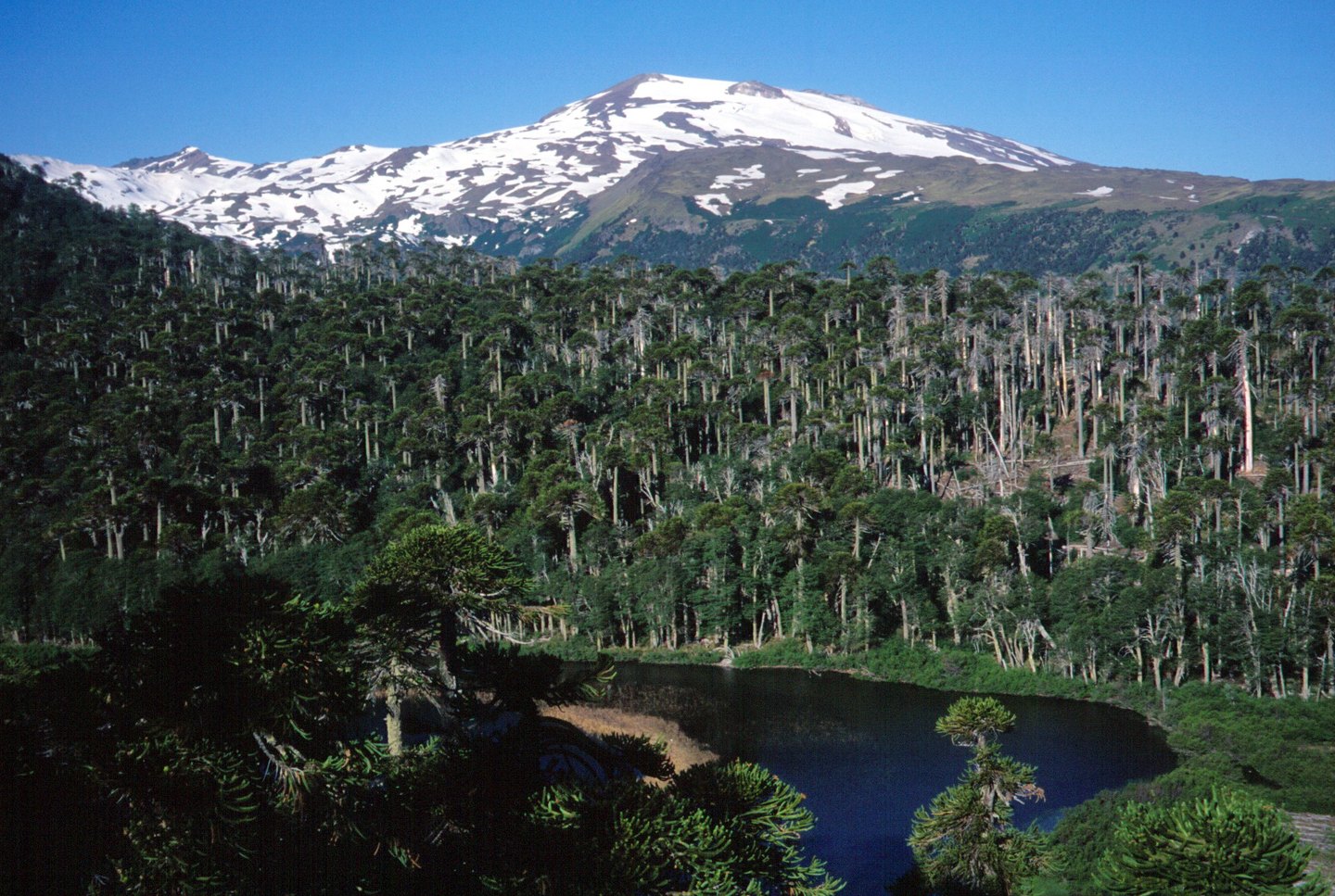
Copahue is built within the older structural feature of the Trapa-Trapa caldera, and lies close to the considerably larger Caviahue caldera — also known as the Agrio caldera. This superimposition of geological structures of different ages defines the volcano's immediate landscape and clearly distinguishes the local from the regional scale. The nine craters aligned along the summit constitute one of the most striking morphological features of the volcanic edifice.
The easternmost crater, known as El Agrio, holds a lake of highly acidic and saline composition, with active fumaroles. This crater lake is a distinct body of water from Lago Caviahue, which occupies part of the adjacent larger caldera; confusing the two would amount to misreading both the scale and the dynamics of the volcanic system. The acidity of the El Agrio lake is a direct consequence of the volcano's hydrothermal and magmatic activity.
Documented Eruptive History
The Smithsonian Institution's Global Volcanism Program documents confirmed eruptive episodes in 2012 and 2024, two events that place Copahue among the most significant active volcanoes in the southern Andes in the recent historical period. The existence of systematic records for these dates reflects decades of scientific monitoring on both sides of the border.
Institutional surveillance of the volcano involves agencies from both Chile and Argentina, including Chile's Servicio Nacional de Geología y Minería (SERNAGEOMIN), which maintains technical profiles of the volcano. This dual cross-border monitoring structure reflects the cone's position exactly on the boundary line, which makes Copahue a shared subject of study between two national earth-science systems.
The Name, the Measurements, and the Sources
The sources consulted record a slight altimetric discrepancy: the SERNAGEOMIN profile gives 2,997 metres, while the figure adopted by the Smithsonian's Global Volcanism Program is 2,953 metres. Both are survey values and should not be presented as equivalent; this guide uses exclusively the figure of 2,953 metres per the Smithsonian source. Neither figure should be interpreted as definitive without consulting each institution's original document directly.
The name Copahue belongs to the local tradition of the border region between Biobío and Neuquén, and the volcano should not be confused with the localities or thermal installations that share the same toponymic root in the surrounding valleys. The crater ridge is a feature of the volcanic edifice's summit; the towns and settlements of the area are independent geographical entities that coexist in the same territory but at different elevations and distances from the volcanic apparatus itself.