
Morphology and drainage basins
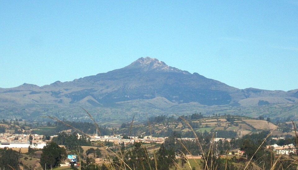
Chiles and Cerro Negro are partially collapsed cones with features shaped by glaciation; Chiles has a crater of approximately one kilometre separated from the neighbouring volcano. The headwaters of the Carchi River rise on its flanks—downstream it takes the name Guáitara in Colombia—and the western slopes of the complex drain to the Mira.
Seismicity and volcanic indicators
The Servicio Geológico Colombiano dates the onset of a sustained increase in seismicity to 2013, with pulses of greater intensity in 2014 and 2022. Thermal springs and ground deformation are two indicators that volcanologists monitor in this system; Colombia and Ecuador publish jointly about it.
Cultural presence in Pastos territory
Research documented paintings, signs, and local emblems representing the mountains in the town of Chiles and the Cumbal area. Local researchers record the significance of the páramo for the Pastos community and for water supply.