
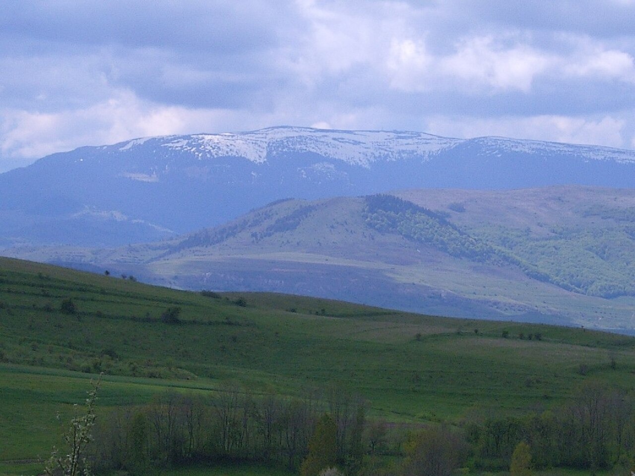
Volcanic Summit and Rock Composition
The 1,836 m top and several nearby heights are assigned rhyolite by the Cluj County natural capital study. The flanking elevations of Vișag, Traniș, and Răchițele carry dacite. Subvolcanic rocks intrude older sedimentary deposits across part of the range. During construction in the Drăgan valley, geologists from the Geological Institute of Romania documented exposures of these formations at railway cuttings along the valley, and observations from that work are held in their archives.
Snow Stratigraphy on the Summit Platform
Romania's National Meteorological Administration conducted a snow survey near the 1,836 m platform during the 2019–2020 season. Field teams recorded stratigraphic profiles of seasonal snow layers on 29 December 2019 on a northwest-facing slope and on 8 February 2020 on an east-facing slope. The two profiles were taken at different aspects of the platform area.
The Vlădeasa 1800 Station
A meteorological station known as Vlădeasa 1800 operated near the summit platform. On 24 June 2025, the station was destroyed by fire. The National Meteorological Administration board subsequently recorded a decision to redirect investment toward reconstruction of the facility, as documented in the board's published list of resolutions.