
Stone Rivers and Boulder Deposits
The park's geology guide explains that prolonged weathering broke rock in place into rounded blocks, which later concentrated into long downhill accumulations across the slopes of Vitosha. These formations are known colloquially as moreni, a term drawn from glacial terminology. The guide identifies their origin as physical weathering. Zlatnite Mostove, where large boulders fill a valley floor, is an example of a stone river.
The 1895 Ascent and Early Protection
In August 1895, the writer Aleko Konstantinov organized a large group ascent of Cherni Vrah, an event park historical records associate with the rise of organized Bulgarian mountain tourism. In 1934, a Bulgarian decree designated the upper state-owned part of the massif a People's Park.
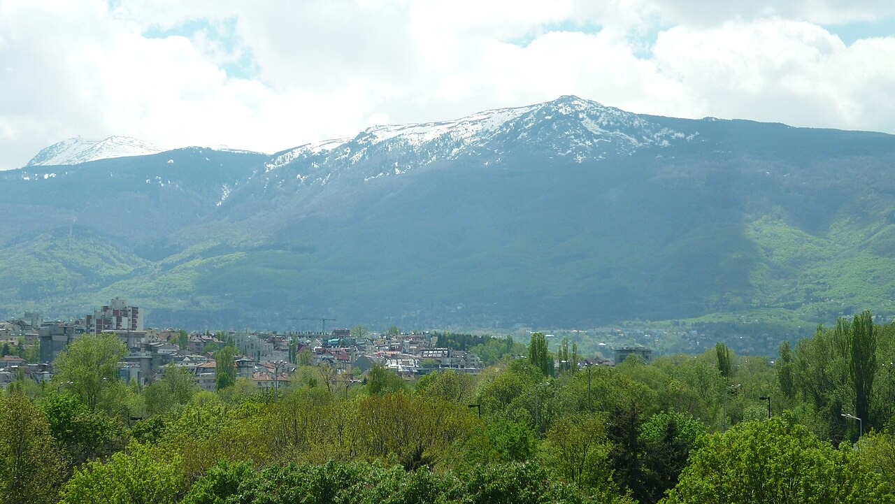
Ridge Overlooking Sofia
The Sofia authority describes Vitosha as a broad dome with a main crest running through Cherni Vrah, Reznyovete, Skoparnik, and Ostritsa. This crest is visible in photographs of the massif taken from central Sofia.