
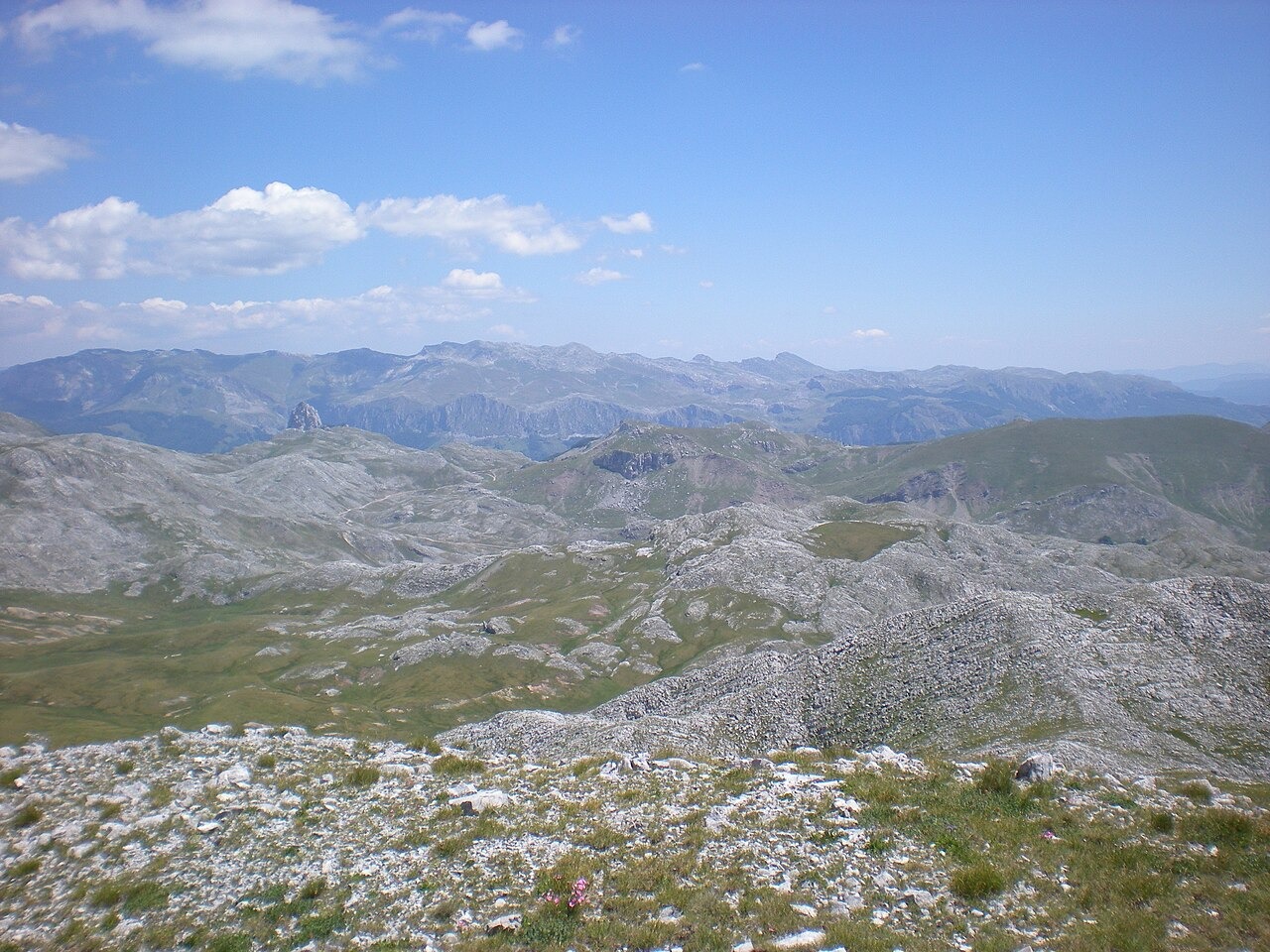
Summit Ridge and Glacial Landforms
Visočica is a limestone massif in the southeastern Dinaric Alps of Bosnia and Herzegovina, rising to its highest point at Džamija, documented at 1,967 metres above Konjic. The neighbouring peaks Veliki Ljeljen at 1,963 metres and Vito at 1,960 metres rise nearby. Published Dinarsko Gorje geography identifies two glacial cirques in the Ljeljen setting, including one recessed into the ridge body, with a moraine ridge closing its lower margin.
River Boundaries
Three river systems define the natural limits of Visočica. The Rakitnica gorge separates it from Bjelašnica to the north, the Ljuta river marks the boundary with Treskavica to the east, and the Neretva forms the southern edge where the massif meets the approaches to Prenj.
Medieval Necropolises at Dolovi–Poljice
Near the highland locality of Dolovi–Poljice, close to Veliko Jezero, two medieval necropolises contain stećci, the carved tombstones found across medieval Bosnia and Herzegovina. The Dinarsko Gorje source records a 2014 national monument designation for this cultural landscape. Documented seasonal shepherd's settlements, known as katun, are also associated with this highland area.