
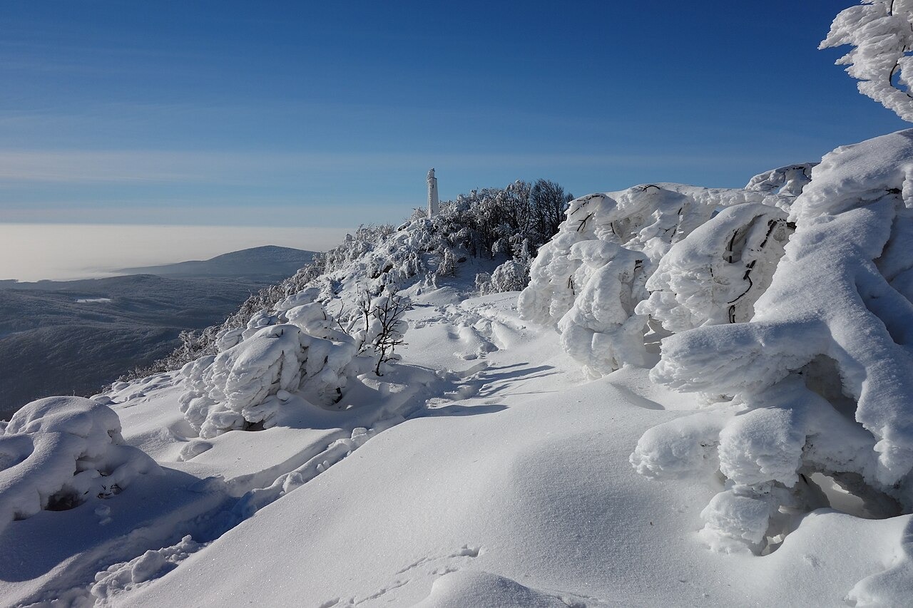
Volcanic Origin and Dated Rocks
The upper massif of Vihorlat is composed of andesite and volcanic debris. Pécskay and colleagues, publishing in Geologica Carpathica, applied potassium–argon dating to rock from a late-stage volcanic neck associated with Vihorlat and obtained an age of 9.7 million years. A volcanic neck is solidified material within a former volcanic conduit. That date describes the sampled neck.
Landscape and Summit Protections
The Vihorlat Protected Landscape Area was established in 1973 and covers the broader region. A separate national nature reserve for the summit and upper slopes was designated in 1986, as recorded in the Natura 2000 conservation dossier.
Woodland and Plant Communities
The Slovak State Nature Conservancy describes native beech woods and lime–maple woodland on the massif, with some stands having a structure characteristic of old-growth forest. The summit and upper slopes are part of the Natura 2000 site Vihorlat (SKUEV0025), where conservation records document Sedum annuum and Soldanella hungarica.