
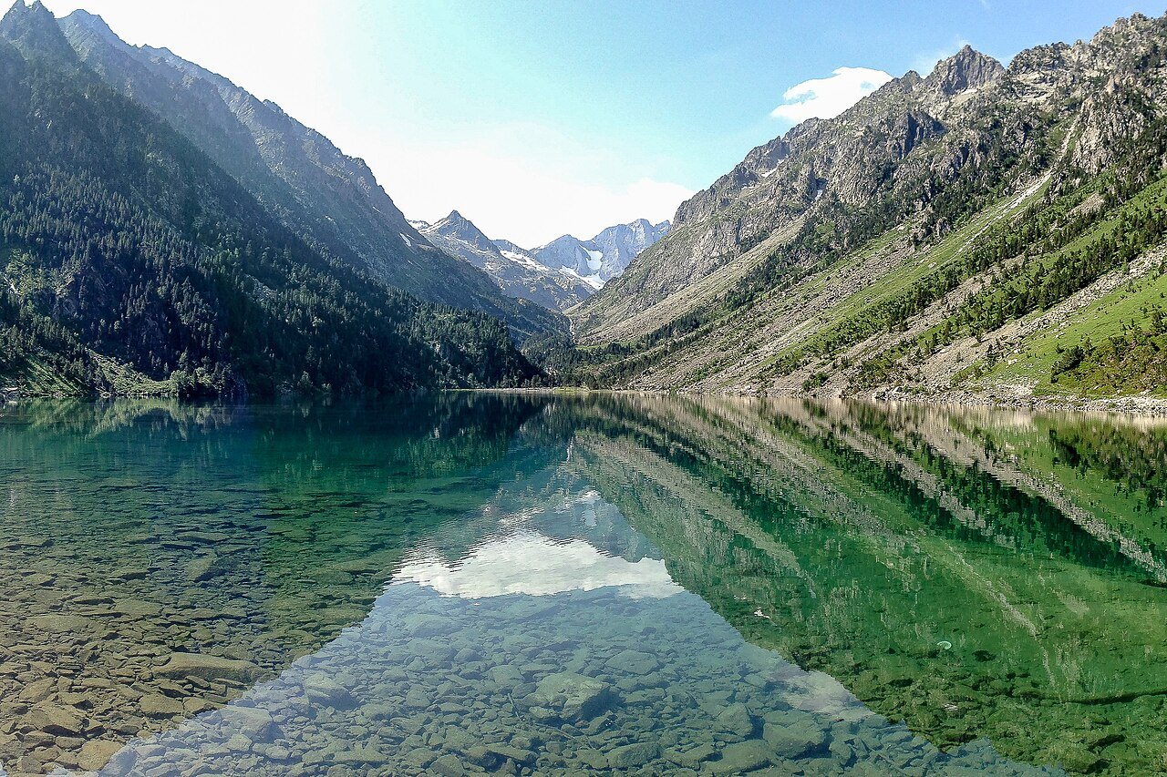
Pique Longue on the border ridge
The name Vignemale refers to a massif and, in common usage, to its highest point, Pique Longue. French cartography gives this summit, shared with Aragon, an elevation of 3,298 metres. The Petit Vignemale, Pic de Cerbillona, and the other peaks trace a ridge around it that explains why the mountain looks so different depending on which valley you approach it from.
From Lac de Gaube, above Cauterets, the eye follows the valley axis straight to the north face. The Gaube couloir cuts into this wall. On the Gavarnie side, the approach follows a different valley and brings the Ossoue Glacier into view, sitting beneath the summit ridge.
Henry Russell's stays in the rock
In the nineteenth century, the Pyrenean mountaineer Henry Russell had seven caves hewn into Vignemale. He stayed in them and received visitors there. The Bellevue caves are the first ones encountered on the ascent toward the Bayssellance hut from the Ossoue dam, at the point where the path passes above the gorge.
Russell sought to spend extended time in the massif. His shelters, cut at different elevations, invite us to read Vignemale as an inhabited place. The valley route juxtaposes these traces of Pyrenean mountaineering history with views of a glacier that observers today monitor with very different tools.
The years the glacier has lost
The Pyrenees National Park Observatory monitors the Ossoue Glacier, including measurements of snow accumulation and mass loss. The observatory recorded particularly heavy losses in 2022 and 2023. A snowier year can slow the retreat, while a multi-year measurement series makes it possible to assess the glacier's overall trend.
The Park's photographic archives offer another point of comparison. Across successive images, the snout retreats and leaves more bare rock exposed. This transformation alters both the silhouette of the slope and the terrain that climbing parties encounter.
Gaube, Bayssellance, and high-mountain terrain
The shores of Lac de Gaube open up a view of the north face. The Bayssellance hut lies on the other side of the massif, on the GR 10. The journey to the hut and the ascent of Pique Longue are two separate undertakings. The classic route to the summit crosses the glaciated Ossoue sector and falls within the domain of alpinism. The federation that manages the hut describes the hiking approaches and the glacial terrain separately.