
Spelling, Elevation, and Identity
The official name carries a single l, standardised by federal cartographers and listed in the USGS Geographic Names Information System. Earlier documents, including Colorado's 1931 Year Book and a 1956 USGS Professional Paper, used the double-l form Vermillion. The 1931 Year Book cited an elevation of 13,870 feet, while modern lidar yields a figure near 4,240 metres. This Colorado summit is unrelated to same-named peaks in Idaho and Montana.
Volcanic Cliffs and Rock Layers
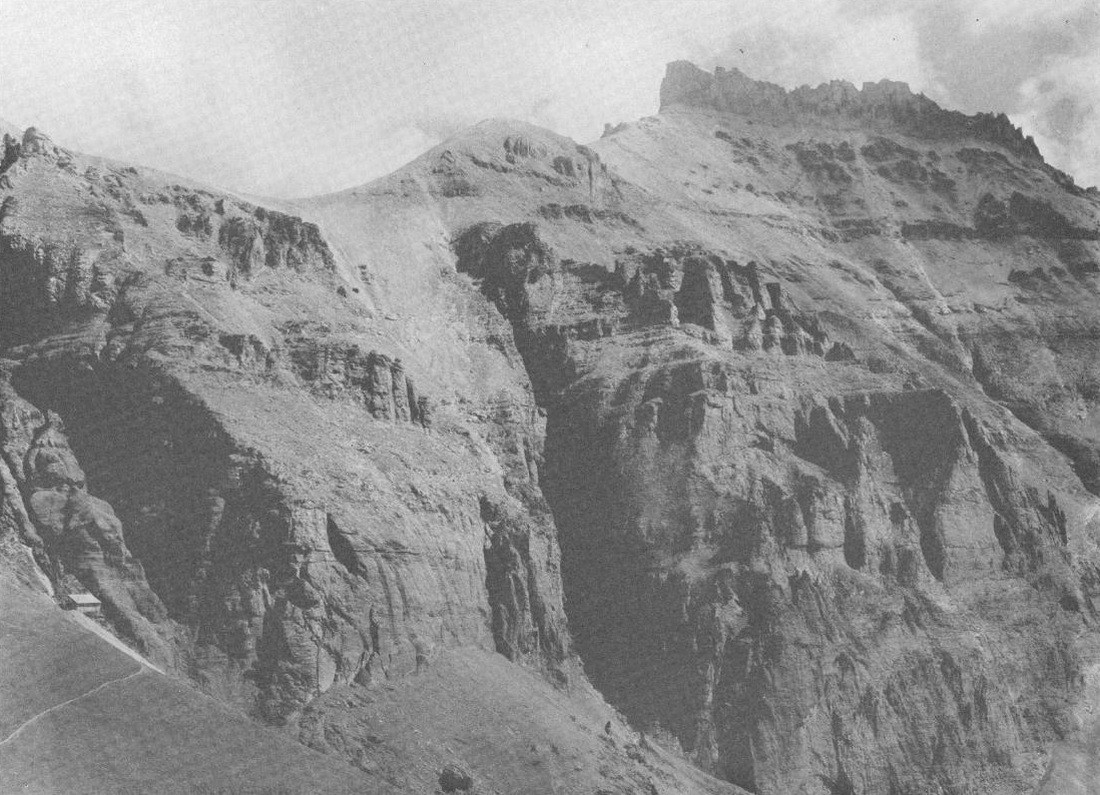
A 1956 USGS Professional Paper documented the peak in a photograph from the head of Groundhog Gulch looking south. The report classified thick slopes and cliffs there as San Juan tuff, a fragmental volcanic deposit, capped by a unit called Treasure Mountain rhyolite, a coherent lava flow. These historic unit names apply to the classification framework used at that viewpoint and do not necessarily extend across every face of the peak.
Ridge Position and Neighboring Summits
Vermilion Peak holds the greatest elevation on a ridge shared with Fuller Peak to the southeast and Golden Horn to the northeast, their separating saddles mapped on the 1955 Ophir quadrangle. The Colorado Mountain Club groups Beattie Peak with these three summits as a connected San Juan cluster, and the USGS Telluride folio described the broader area as containing brilliantly coloured volcanic summits.