
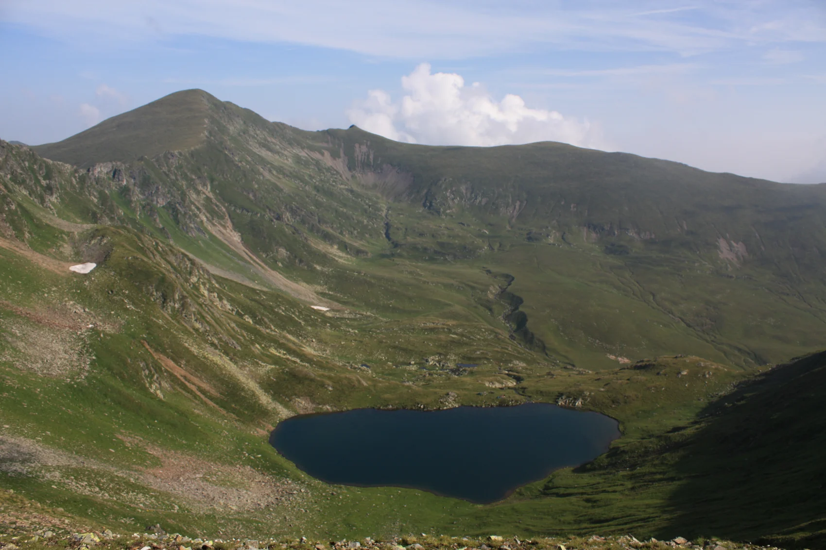
From the forest to the ridge
The geological traces here include the hollow now occupied by Lake Urlea. The Romanian geographic encyclopedia lists the lake about 300 metres below the summit. In July 1939, the botanist Eugen Ghișa observed patches of snow still lying near the shore.
The trail mapped by Munții Noștri rises from the old hut clearing through spruce forest and dwarf pine. It crosses the Șleaul Moșuleței plateau before reaching a narrowing rocky ridge near the summit.
Botanical Fieldwork at Lake Urlea
Eugen Ghișa and the botanist E. I. Nyárády surveyed the area from 18 to 22 July 1939. Ghișa’s 1940 report lists alpine forget-me-not (Myosotis alpestris) and dwarf primrose (Primula minima) among the plants he observed around the lake. His field map marks ten survey plots in the surrounding mountains. In the report he labels the summit Vârf. Urlei.
The SKV Huts and Their Remains
The Transylvanian Carpathian Society, the Siebenbürgischer Karpatenverein (SKV), lists two successive huts at 1,533 metres. Urlea I opened in 1927 with room for 20 people. Urlea II followed in 1935 with room for 38. The club’s 2020 anniversary report records both as ruins. The clearing remains a point of reference on the mapped ascent.
Protected Area Boundary
A Romanian government decision in 2004 placed Vârful Urlea on the northern boundary of the Valea Rea–Zârna protected area. The boundary follows the Făgăraș ridge through the summit between Vârful Iezerului and Curmătura Mogoșului.