
Height, Survey, and NAP
Rijkswaterstaat defines NAP, the Normaal Amsterdams Peil, as the common vertical reference for the Netherlands. The figure originates from historical tidal measurements at Amsterdam and serves as the shared datum against which all Dutch elevations are expressed. A named datum makes it possible to state precisely whether any point in the country is above or below a consistent baseline.
The Tripoint
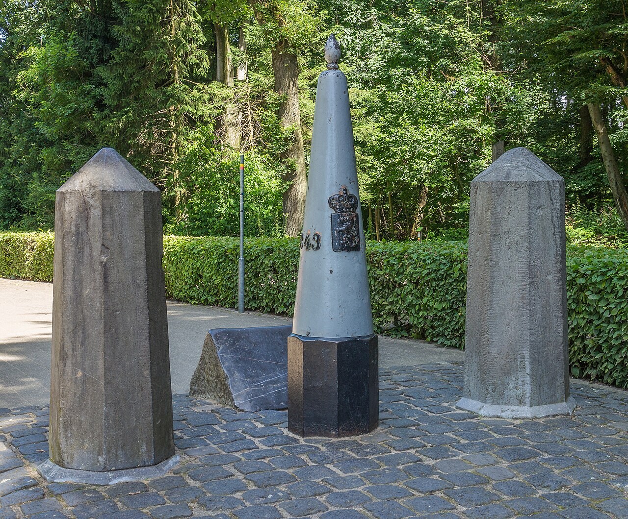
The borders of Belgium, Germany and the Netherlands meet near the top of Vaalserberg. The boundary marker stands a short distance from the highest ground.
European Netherlands and National Scope
When Saba was incorporated as a special municipality of the Netherlands in 2010, the scope of Vaalserberg's distinction became more precisely bounded. Mount Scenery on Saba reaches a greater elevation, making it the highest point in the Netherlands once the Caribbean special municipalities are counted.