
Soviet Cartographic Record
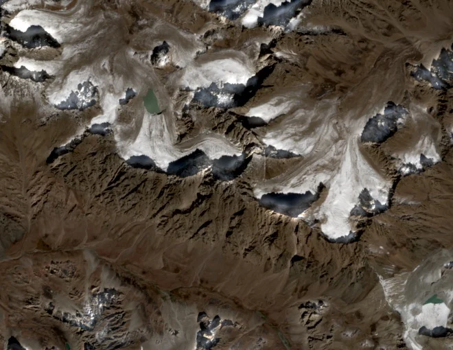
A 1981 Soviet topographic map recorded the summit at 4,643 metres, assigning the altitude that forms the peak's canonical title. That figure placed Peak 4643 on the Uzbekistan–Tajikistan frontier within the Gissar Range, where glacial and rocky terrain characterise the upper approaches.
Hazrat Sultan Naming Conflict
Uzbekistan Tourism materials applied the name Hazrat Sultan—also spelled Khazret Sultan—to this 4,643-metre peak, pairing the name with its altitude. The same name also attaches to a separate pilgrimage mountain in the region; available references on that mountain's elevation are discordant, and the two landforms remain distinct in cartographic records.
2023 Relative Survey
In August 2023, Eric Gilbertson and Andreas Aschaber climbed both Peak 4643 and the neighbouring summit Alpomish, conducting six separate relative-height measurements with an Abney level. Results indicated Alpomish stands roughly 25 ± 11 metres higher than Peak 4643. The peer-reviewed analysis first appeared online in 2025 in Progress in Physical Geography.