
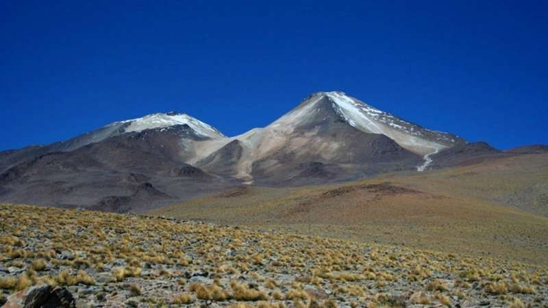
Volcanic morphology in the high Puna
The lava flows of Uturuncu, andesitic and dacitic in composition, retain surface textures that reflect the dynamics of flow at the time of emplacement. The slopes near the summit show evidence of glacial erosion, indicating that the volcanic edifice was exposed to the action of ice during its history.
The two sulfurous fumarolic areas near the summit, together with the seismicity recorded in the area, guide geophysical research into the magmatic system beneath Uturuncu.
The InSAR signal and ground deformation
Interferometric radar InSAR compares the distance between a satellite and the Earth's surface in images taken on different dates in order to detect ground deformation. Observations carried out between 1992 and 2011 identified a deformation signal approximately 150 kilometers in diameter over Uturuncu, with central uplift around the volcano and a peripheral ring of subsidence.
The research combines several techniques and covers different observation periods. The recorded data should not be extrapolated to infer current rates of deformation.
Investigation of the magmatic system
The surface deformation detected by InSAR, the fumarolic emissions, and the seismic activity constitute the indicators with which research guides the study of the Uturuncu magmatic system. Volcanic geophysics uses the combination of these signals to characterize the behavior of the system in the central Bolivian Andes.