
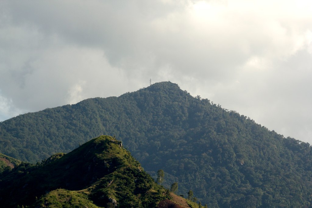
Lukwangule Plateau and High Grassland
The upper Lukwangule area supports boggy high grassland at elevations approaching 2,638 m. The Tanzania Forest Conservation Group and Wildlife Conservation Society of Tanzania documented these montane grassland habitats in field surveys, noting their position above the main forest belt. The Bunduki gap separates the northern and southern blocks of the ridge and shapes the distribution of forest cover across the range.
Ruvu Catchment and Dar es Salaam Water Supply
Forest cover in the Ulugurus feeds the Ruvu catchment, which supplies water to Dar es Salaam. The Eastern Arc Mountains Conservation Endowment Fund has highlighted this hydrological connection in its climate change and biodiversity documentation, linking the integrity of montane forest to downstream urban water availability.
Restricted-Range Species in Uluguru Forest
The Key Biodiversity Areas factsheet for the Uluguru Mountains lists Loveridge's sunbird Cinnyris loveridgei and the Uluguru bushshrike Malaconotus alius among species with forest habitats restricted to this ridge. Both are associated with the montane forest reserves that extend across the northern and southern blocks of the range.