
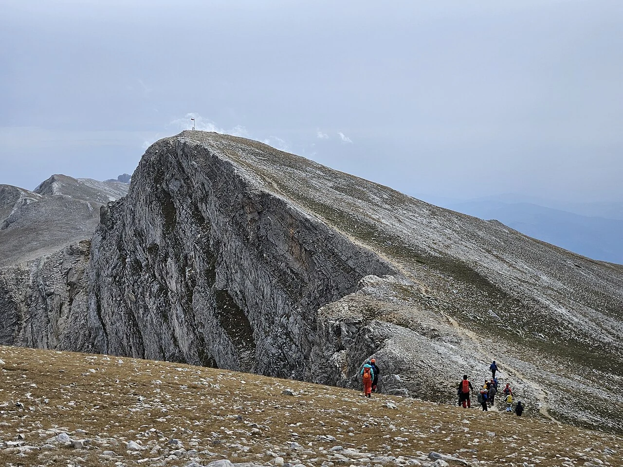
Names and Summit Terrain
The Uludağ Area Presidency records Keşiş Dağı as the mountain's former name, associated with Christian monastic communities that occupied its slopes. The current name, Uludağ, translates broadly as Great Mountain. Bursa Uludağ University identifies the highest point as Uludağ Tepe or Karatepe. The provincial directorate describes the broader massif as featuring glacial lakes and steep terrain shaped by past ice activity, products of the glacial history documented by Akçar et al..
Glacial History
Akçar et al. established a Quaternary glacier chronology for Uludağ using dated moraine sequences. Their study identifies three readvance phases at approximately 16,100, 13,300, and 11,500 years ago, each figure given as an estimate. Those ice bodies significantly modified the mountain's upper terrain, producing the carved valleys and lake basins described in the provincial directorate profile.
Human History and Infrastructure
The Area Presidency documents successive occupation of the high slopes, beginning with Christian monastic communities and followed by Ottoman-era dervish retreats across several centuries. The mountain was designated a national park in 1961. On 29 October 1963, a cable car connecting Bursa to the mountain opened, recognized by the Türkiye Culture Portal as the first cable car established in Türkiye.