
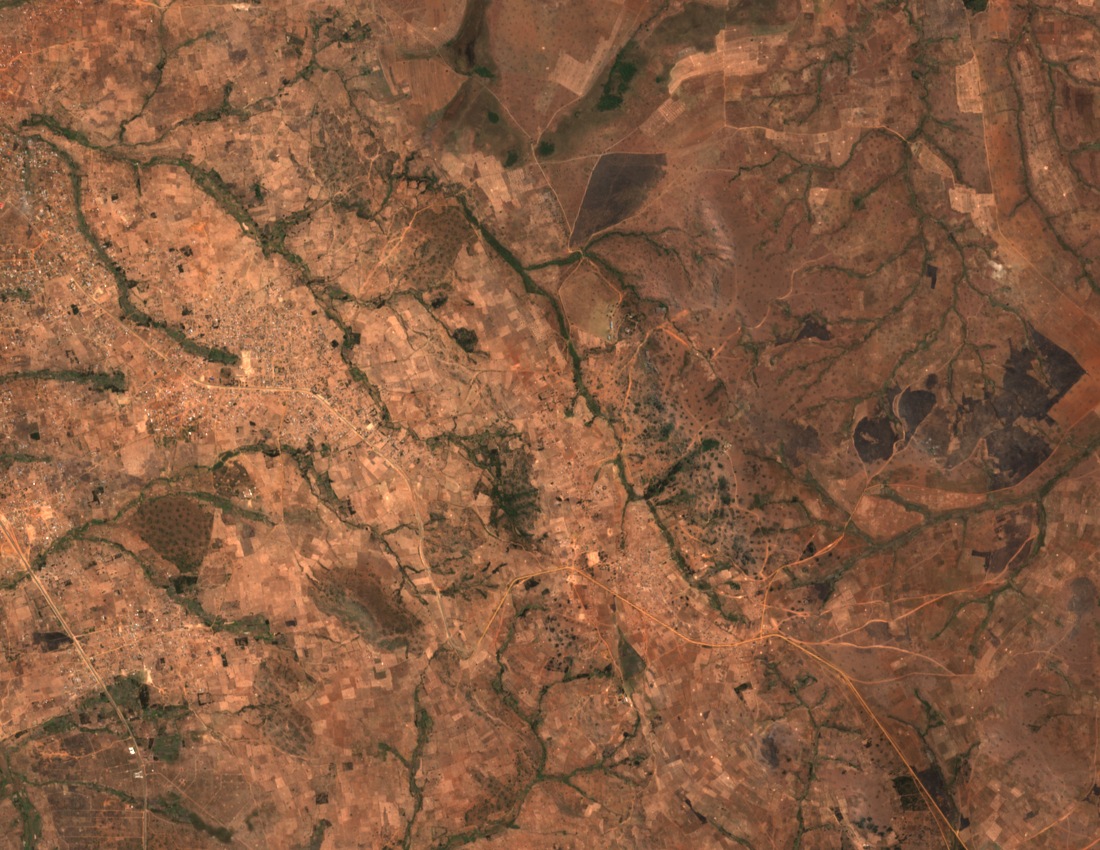
A block between two rift basins
Field studies characterise the Ufipa Plateau as a tilted bedrock block distinct from the steep marginal slopes on either side. The Kanda normal fault cuts through the uplands, where geological surveys mapped a series of scarps.
1910 Rukwa Earthquake
On 13 December 1910 an earthquake estimated at magnitude 7.4 struck the Rukwa region. Historical and geological work places the epicentre in the vicinity of Sumbawanga and the Kanda normal fault. The exact epicentre remains uncertain. Later surveys mapped the fault scarps along the plateau.
Two published heights for Malonje
Published elevation figures for the plateau's highest ground differ across sources. The Rukwa regional government and Sumbawanga municipal profile list Malonje at 2,461 metres. Graeme Watson's 1995 Alpine Journal account gives Malonje as 2,418 metres and records Mbizi separately at 2,490 metres.