
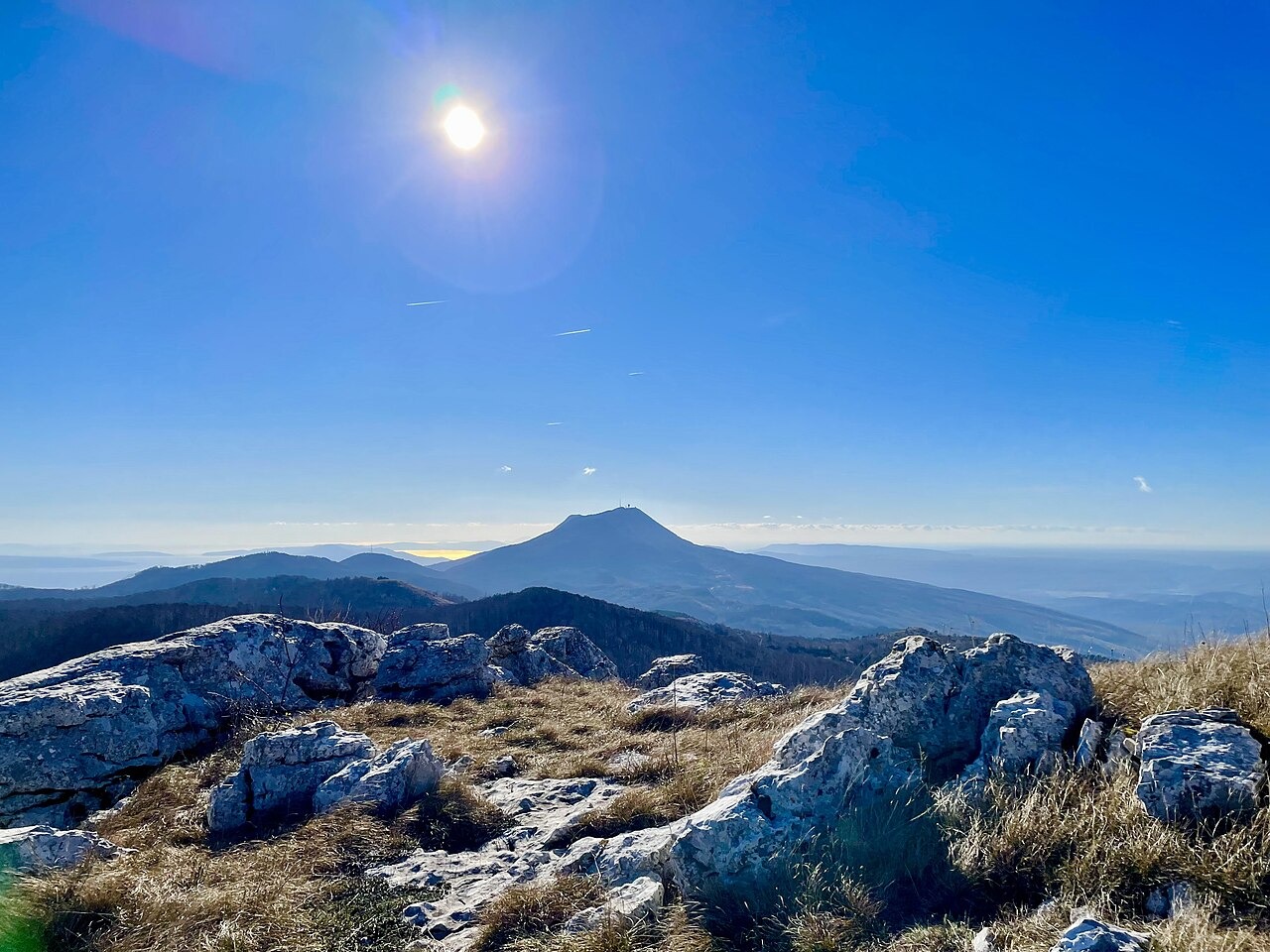
Geology and Endemic Flora
According to the park's interpretation, Paleogene limestone layers were deposited, then uplifted and fractured. Erosion and karstification shaped the remaining rock into the towers visible in Vela draga today. On the exposed summit ridge of Vojak, the park identifies Campanula tommasiniana as an endemic bellflower found specifically on Učka.
The Vojak Tower
The Austrian Tourist Club constructed the stone observation tower on Vojak in 1911. During World War I it served as a military lookout. The tower became a recognized symbol of Učka Nature Park following the park's declaration in 1999. The park restored the tower in 2004.
Position and Massif Geography
The Istrian Encyclopedia describes the north–south ridge as a climatic divide between Istria and Kvarner. Park documentation charts plant habitats across elevational bands and records both continental and Mediterranean species within the massif.