
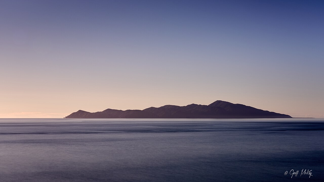
The ridge and the sea
Kāpiti lies about five kilometres off the west coast of the lower North Island. Its main ridge runs along the length of the island. From Pukerua Bay, that ridge appears as a broad silhouette, with Tūteremoana rising above the lower summits.
A name from Ngāi Tara history
Writing for Te Ara, Darren Reid identifies Tūteremoana as a chief of Ngāi Tara who lived on Kāpiti for a time and gave his name to the summit. The island was later a stronghold of Te Rauparaha. The Department of Conservation records settlement at several places on the eastern shore, including Rangatira Point.
An island reserve
The government acquired much of Kāpiti in 1897 to protect its natural heritage. Farming and earlier fires had left extensive areas of cleared land. Introduced mammals were removed in stages, ending with Norway rats and kiore in 1996. Regenerating forest and recovering native bird populations are part of that conservation history.