
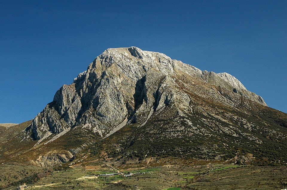
Geological structure and relief
El Turbón is formed by a large anticline faulted on its eastern flank, a tectonic structure that directly governs the morphology of the massif as a whole. The predominant materials are marls and thick Cretaceous limestone beds, whose differential resistance to erosion has produced vertical escarpments of more than 500 metres. This combination of fold, fault and calcareous lithology gives the massif its characteristic silhouette and accounts for the presence of highly vertical walls around its perimeter.
Hydrographic position: between the Isábena and the Ésera
The north-south orientation of the massif makes it a watershed between two river basins of the Aragonese Pre-Pyrenees. To the east, El Turbón dominates the basin of the River Isábena; to the west, the Campo depression, drained by the River Ésera. This "sentinel" position between two valleys of different morphology — one deeply incised, the other more open in the form of a depression — is one of the most defining geographical features of the mountain and allows it to be understood as a threshold between two distinct Pyrenean landscapes.
Endemic flora and geobotanical interest
The vegetation of El Turbón includes abundant endemics that give it notable geobotanical interest. The combination of Cretaceous calcareous substrate, Pre-Pyrenean altitude and the varied aspects resulting from its anticlinal geometry favours the existence of particular plant communities. The field notes do not specify the individual species, but expressly indicate that the endemic flora is one of the most outstanding natural values of the massif.
Ascent routes and elevation gain
El Turbón can be climbed by at least three distinct itineraries depending on the starting point. The westernmost route sets out from Serrate, follows a track to the Refugio de la Plana and then continues by path and scree slopes to the summit. The eastern route ascends from the Vilas de Turbón. A third option passes through the Valle de San Adrián. Regardless of the chosen itinerary, the cumulative elevation gain on the ascent exceeds 1,000 metres in every case.