
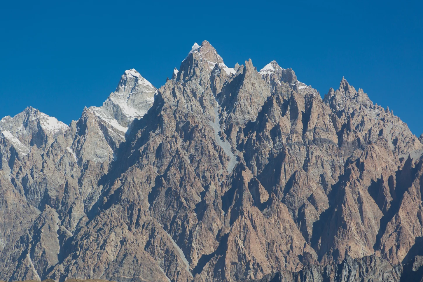
Rock Fabric and Pinnacle Form
The Geological Survey of Pakistan's cross-sections of the Hunza area identify the massif's composition as bedded limestone and massive dolomite with fossil material recorded. These carbonate units produce the crenellated ridgeline and pronounced pinnacles that define Tupopdan's silhouette above the river valley north of Passu village.
Glacial Valley Setting
Karakoram International University research on glacial lake outburst flood systems places Tupopdan within a valley shaped by the Passu and Batura glacier systems upstream. KIU field work documents how ice dynamics, moraine structures, and meltwater interact at landscape scale in the immediate environs of the massif.
Nomenclature and Elevation Record
Tupopdan holds local currency in Upper Hunza; Passu Cones and Passu Cathedral appear in mountaineering and travel literature as descriptors derived from the peak's visual character. Gilgit-Baltistan government sources and KIU field research consistently record the summit at 6,106 m. All three names designate the same formation.