
Volcanic construction
Tunupa is a composite volcano with domes — elevated topographic forms — and lava flows visible to the east. Studies using the ⁴⁰Ar/³⁹Ar method indicate that the sampled parts of the edifice were built between 1.55 and 1.40 million years ago, placing those materials in the Early Pleistocene.
Moraines and the Tauca palaeolake
Tunupa's slopes preserve moraines — deposits accumulated by glaciers when ice occupied lower positions — studied through cosmogenic helium dating. Blard et al. compared these ages with those of the Tauca palaeolake. The results show that the phases of highest lake level and ice advance on Tunupa coincided between 17,000 and 15,000 years ago.
The edifice seen from orbit
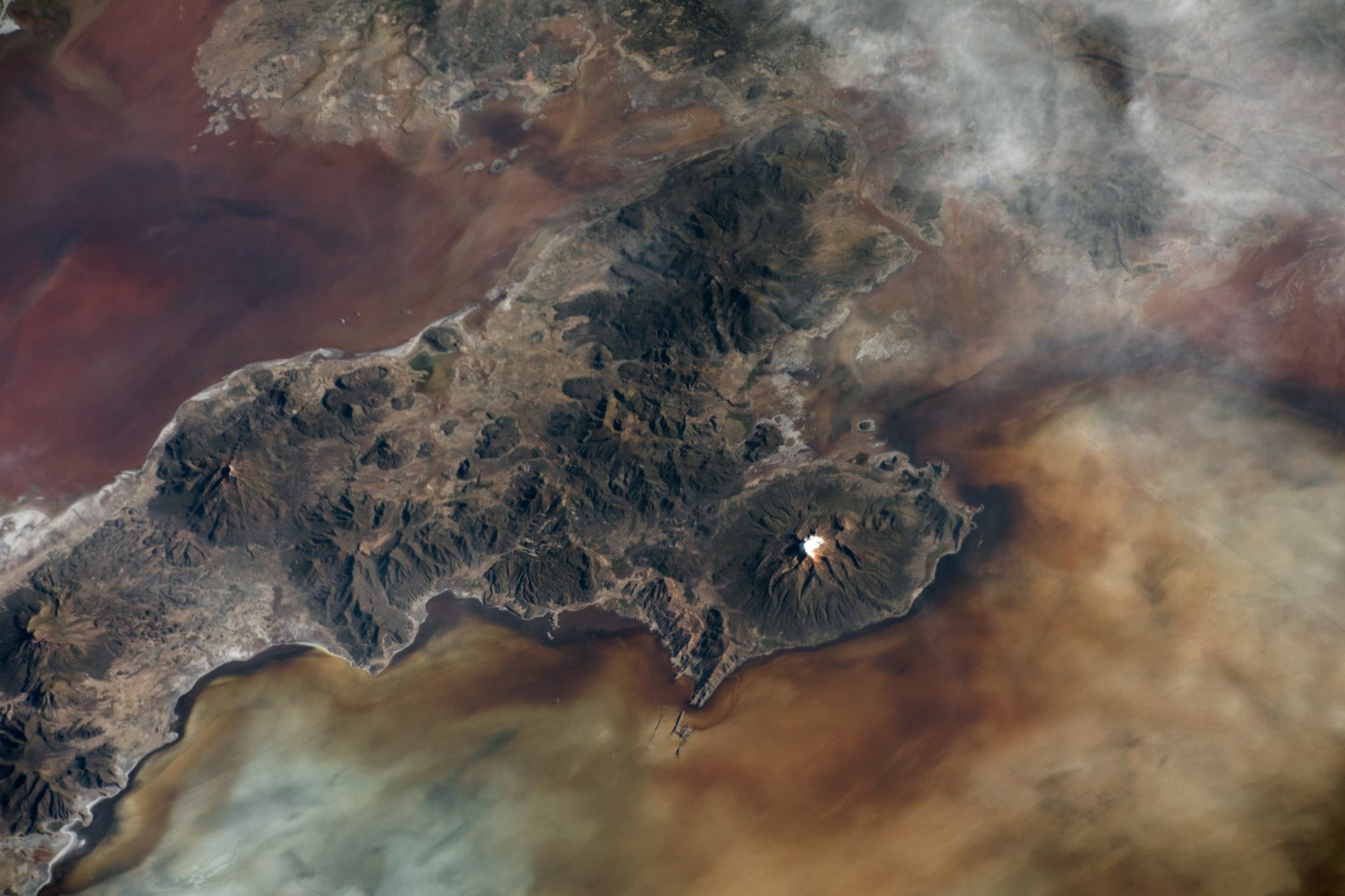
An orbital photograph taken by NASA on 5 February 2022 shows the eroded valleys of Tunupa and the spatial relationship between its edifice and the adjacent salt flats. These salt flats, among them the Salar de Uyuni, are remnants of palaeolakes that during wetter periods covered extensive areas of the Bolivian Altiplano.