
Three edifices, two collapses
The IG-EPN divides Tungurahua's constructive history into three successive edifices. The first two underwent partial collapses, the first approximately 30,000 years ago and the second around 3,000 years ago. Both episodes left identifiable deposits in the valleys of the Chambo and the Patate, catchments that flank the volcano and have served as natural corridors for material shed from its flanks. The distinction between the collapse process — gravitational, structural — and explosive eruptive activity is relevant to understanding how the surrounding relief has been shaped.
After each collapse, a new cone grew over the remains of its predecessor. The current edifice, the third in the sequence, is the one with documented historical activity and the one that forms the silhouette of the volcano recognizable from Baños. This pattern of destruction and reconstruction, recorded also at Sangay, is a structural characteristic of the great stratovolcanoes of the Ecuadorian arc.
The 1999–2016 eruptive cycle
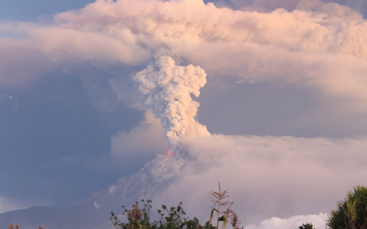
The most recent documented eruptive period extended from 1999 to 2016. Within that cycle, the episodes of July and August 2006 were particularly significant: on both occasions pyroclastic flows were produced that travelled channelled through the volcano's gullies. The morphology of those incisions in the flanks directly conditioned the trajectory of the material, a relationship between relief and volcanic dynamics that IG-EPN publications emphasise when describing the hazards associated with the volcano.
The cycle closed with an event recorded between February and March 2016. The sources consulted make no projections about future activity, and this text makes none either. The period 1999–2016 thus stands as the chronological reference frame for Tungurahua's recent historical activity, within a record that the IG-EPN places in the third constructive phase of the volcano.
Setting within Sangay National Park
Tungurahua forms part of Sangay National Park alongside Sangay and El Altar, though its volcanic characteristics differ substantially from those of both neighbours. The park was established in 1979 and inscribed as a UNESCO World Heritage Site in 1983. The coexistence within a single protected area of a volcano with an extensive historical activity record such as Tungurahua, a volcano with a long history of lateral collapses such as Sangay, and a summit with no evidence of Holocene eruption such as El Altar offers a comparative context that underscores the variety of geological trajectories possible within the Ecuadorian volcanic arc.