
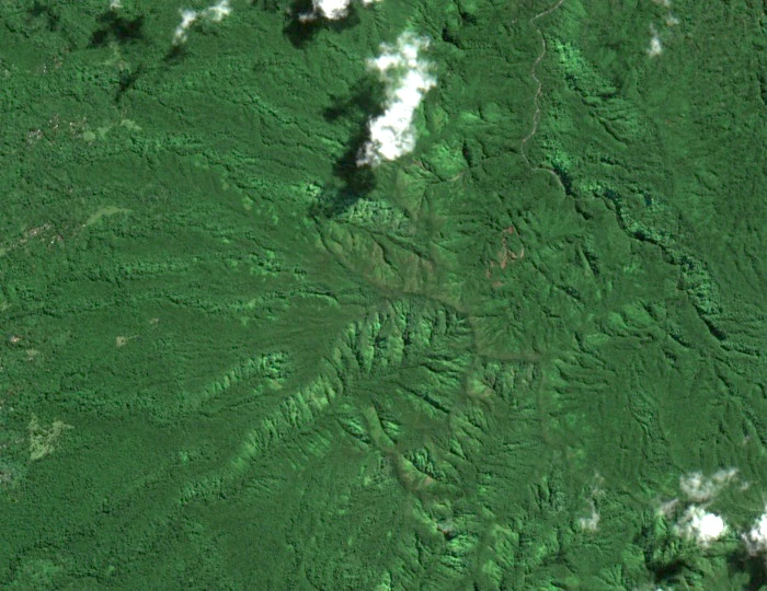
A Volcano Frozen in Deep Time
Both the Vanuatu Meteorology and Geo-Hazards Department and the Smithsonian Institution's Global Volcanism Program classify Tukosmera as a much older volcanic structure than Yasur, explicitly treating the two as separate features on the same island. Where Yasur is monitored as one of the world's most persistently active volcanoes, Tukosmera belongs to an earlier chapter of Tanna's geological story — its edifice shaped during the Pleistocene and subsequently mantled by forest rather than fresh lava. The Smithsonian record notes the summit elevation as 1084 metres, a figure consistent with Copernicus GLO-30 raster data showing a local summit cell of 1083 metres within roughly 100 metres of the named location. Eruption records and hazard monitoring associated with the Smithsonian's Yasur entry concern that active cone alone and carry no implication of current volcanic activity at Tukosmera's summit.
The name itself reflects the layered orthography of Vanuatu's mapping history. GeoNames and the United States National Geospatial-Intelligence Agency record the form Tukuwa Smera alongside geographic coordinates that place the feature on the southern portion of Tanna. The Vanuatu National Disaster Management Office's Tafea Provincial Disaster Plan includes the island's topographic profile within its hazard-assessment framework, situating Tukosmera within the broader landscape that disaster planners must account for when considering the island's varied terrain.
The Tekrkak and Community Conservation
Tukosmera has been confirmed as nesting habitat for the collared petrel — Pterodroma brevipes, known locally as the tekrkak — while traditional knowledge identifies the adjacent Mount Melen, near Imaio, as a nesting area as well. Vanuatu's Sixth National Report to the Convention on Biological Diversity documents the bird's presence in this part of Tanna and traces the development of a community-led response. Outreach work carried out in 2015 and 2016 built awareness among local communities, and in 2018 the Tekrkak Conservation Area Committee was formally established with representatives drawn from five customary tribes. The Pacific Seabird Colony Database also carries field records for the Mount Tukusmera and Melon area.
The CBD report presents the tekrkak initiative as an example of community-grounded biodiversity stewardship rooted in customary relationships to land. The documented timeline in the report runs through the committee's establishment in 2018, at which point the community was expressing interest in developing a species management plan and researchers were considering monitoring options for the colony.
Summit Geography and Naming
The several variant spellings in circulation — Tukosmera, Tukosmeru, Tukusmera, Tukuwa Smera — are preserved differently across gazetteers, national biodiversity reports, and other records without a single form having displaced the others. The summit lies at approximately 19°34′36″S, 169°23′18″E in the southwestern interior of Tanna, an island that also hosts an active volcano to the northeast.