
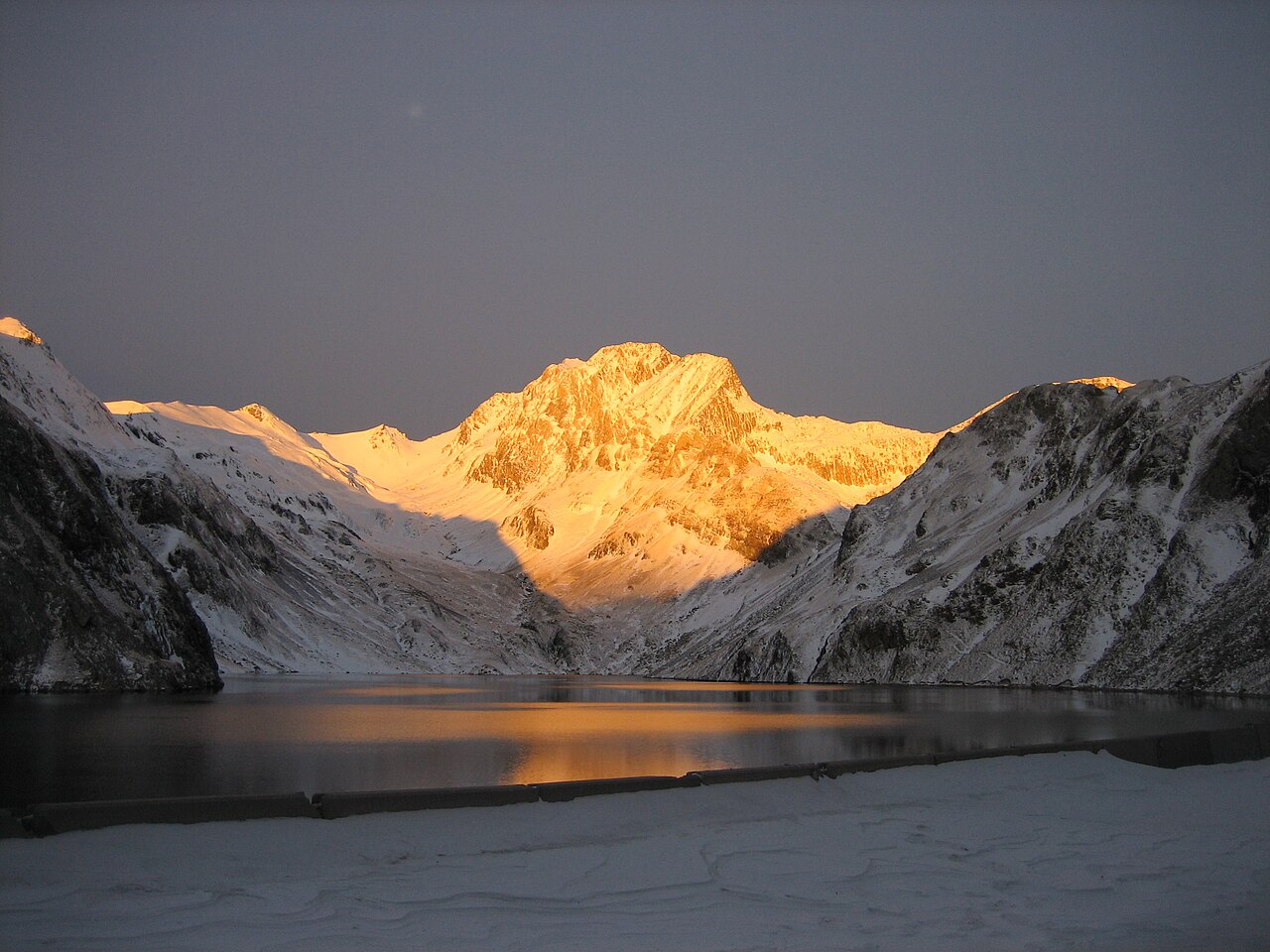
Geology and relief
The field study that Joaquín Montoriol Pous published in 1959 for the IGME describes the central elevations of Vallibierna and Culebras as outcrops of highly folded limestones and calcareous schists rising above neighbouring slate summits with flatter profiles. This arrangement reflects a complex structural history within the massif, with materials of differing competence exposed by erosion at the highest peaks in the area.
Historical field observations
In the study published in 1959 for the IGME, Montoriol Pous documented, in a shaded gully on the north face of the western portion, solifluction flows, snowmelt water flow and frozen ground in August. These observations describe the active processes in that sector during the period studied and show the periglacial dynamics that shaped the shaded slopes of the area.
Presence in the cultural landscape and the park
In August 1907 the excursionist and photographer Juli Soler i Santaló photographed Pico de Vallibierna; the period copy is held by the Centre Excursionista de Catalunya in the Memòria Digital de Catalunya under reference AFCEC_SOLER_D_1223. The Aragonese law of 1994 created the Posets-Maladeta Natural Park and expressly listed the Vallibierna massif and its deep valley of the same name.