
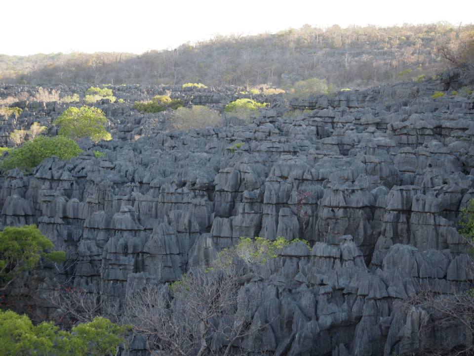
Carbonate Dissolution and the Formation of Tsingy
Rainwater absorbs carbon dioxide as it falls, forming a weak carbonic acid that dissolves the Ankarana limestone along natural fractures and bedding planes. Repeated cycles of dissolution widen these joints and gradually isolate columns and blades of rock, producing the characteristic tsingy pinnacle landscape described in the cave researchers' monograph on the Ankarana Plateau published by Springer.
Underground Rivers and Mapped Cave Passages
Below the pinnacle surface, fieldwork documented by cave researchers has mapped more than 100 kilometres of passages and galleries within the plateau. Surface streams disappear into sinkholes and re-emerge elsewhere, while underground rivers flow through sections of the system. Researchers recorded eels and crocodiles in certain passages during their surveys, establishing the presence of these species at those documented locations.
Vegetation of the Dry Plateau and Forest Depressions
Dry limestone areas across the plateau support drought-adapted plant communities suited to thin soils and exposed karst surfaces. In sheltered depressions where moisture and organic matter accumulate, denser forest pockets develop, creating distinct microhabitats within the reserve boundary. This contrast between open pinnacle zones and enclosed forest gives the 18,225-hectare reserve notable habitat variety across its extent.