
First Ascent via the West Ridge
Fumitaka Sakurai, Hiroshi Kodama, and Kosuke Honma of Chiba University reached the summit on 8 November 1991 by the west ridge. Their southern approach had been stopped by crevasse terrain on the lower glacier, prompting the team to pivot to the west ridge for their successful line.
Approach, Bivouac, and Summit Day
After the southern icefall blocked the original line, the team established a bivouac at approximately 5,950 metres on the west ridge before committing to the upper route on separate days. Sakurai recorded an altimeter reading of 6,310 metres at the summit, reported as an instrument value from that expedition.
Glaciated Terrain Southwest of Teri Kang
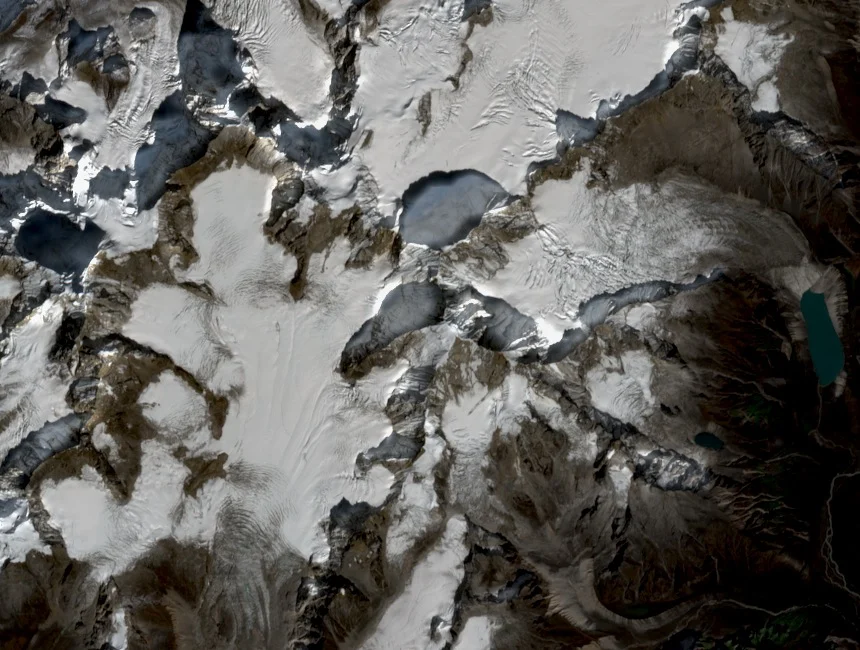
The 1991 team navigated a heavily crevassed southern glacier before traversing to a rock step on the west ridge. This terrain reflects the glaciated spurs descending from the Bhutan Himalayan watershed in the sector where Tsenda Kang sits among clustered high summits along the northern border.