
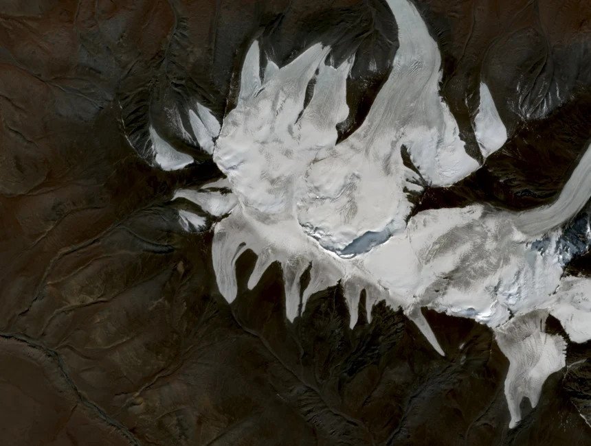
Glaciated Flanks Above the Zuslan Valley
The Asia-Pacific Network for Global Change Research identifies Tsast Uul as the principal high point of the Tsambagarav massif, with a surveyed elevation of 4,193 metres. Hanging and cirque glaciers are documented on both the northern and southern aspects above the Zuslan valley. The summit appears in scientific literature under two transliterations, Tsast Uul and Tsast-Ula, referencing the same peak.
The 1988 Ice-Rock Avalanche
On 22 June 1988, an earthquake triggered an ice-rock avalanche on the south slope that descended into the Zuslan valley. Field surveys in 2004 documented the resulting scar on the affected glacier. Researchers visiting in 2019 recorded that the glacier had by then separated into two distinct parts.
Satellite and Field Records
A 2022 study compared satellite imagery from 1968 and 2015 with field surveys conducted in 2004 and 2019, tracking glacial change across more than five decades. A subsequent survey counted 73 glaciers covering 61.08 square kilometres across the entire Tsambagarav ridge in 2023.