
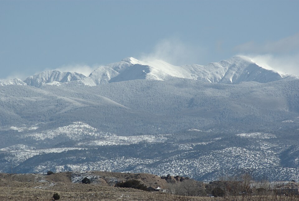
Summit and Neighbouring Peaks
The peak is also known as South Truchas Peak, distinguishing it from Middle and North Truchas, which are lower and separate summits. By prominence-based ranking, Truchas Peak is New Mexico's second highest independent mountain after Wheeler Peak. The USGS 1963 topographic quadrangle places the high point south of the lower Truchas summits on the same crest.
Watershed Divide
The high crest at Truchas Peak separates two major drainage systems: the upper Pecos River basin to the east and drainages flowing west toward the Rio Grande. The New Mexico Interstate Stream Commission identifies this ridgeline as a defining boundary of the upper Pecos Basin. Spanish truchas means trout, though the supplied evidence does not establish a specific connection between the name and particular lakes, communities, or fisheries in the area.
Wildlife and Wilderness History
The U.S. Forest Service regional history records that bighorn sheep had disappeared from the Truchas area by the early twentieth century. In 1964, the same year the Pecos Wilderness was formally established, the Forest Service recorded restocking efforts in the Pecos Baldy and Truchas Peaks area. The Pecos Wilderness designation in 1964 brought formal federal protection to the high terrain surrounding the peak.