
Landforms and Geology
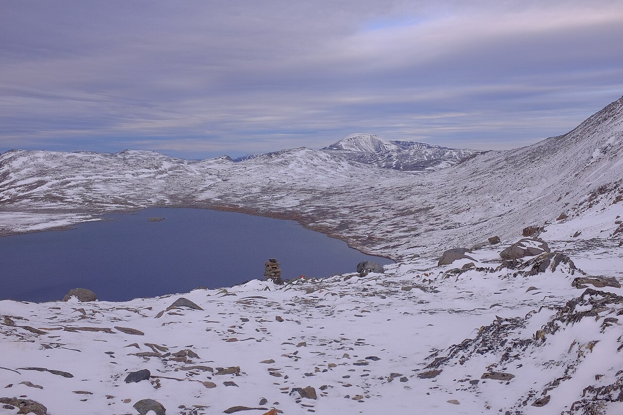
The high central portions of Trollheimen are underlain by quartzite, flagstones — stone that naturally splits into slabs — and gneisses, as documented in the 2015 management plan, with extensive blockfields covering ground above approximately 1,400 to 1,500 metres. The highest point is Store Trolla at approximately 1,850 metres, located in the south near Innerdalen and Sunndalen. Trollhøtta, with a measured southern summit of 1,616 metres, is visible from the Riarskaret viewpoint above Fossådalsvatnet.
Pastoral Land Use
Seter valleys — where farms move cattle and sheep to highland pastures for the summer dairy season — have shaped Trollheimen's interior. The range also supports Sámi reindeer herding, documented in a regional governor's report that records multiple types of active land use across the area. The 2015 management plan documents Innerdalshytta as a tourist hut dating from 1890.
Landscape Protection
The Trollheimen landscape protection area was designated on 11 December 1987. Field boundary marking was carried out in stages, with work in 2009–2010 and 2014–2016. According to the Regional Governor's account, the Norwegian Environment Agency made minor adjustments to the boundary and legal map in 2017–2018. The 2015 management plan describes the geology, highland land use, and the conservation framework in detail.