
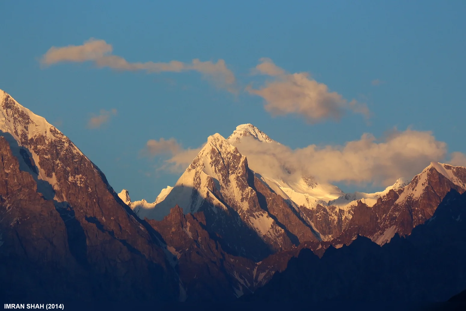
Location and Setting
Trivor stands at 7577 meters in the Hispar Muztagh, a subrange of the Karakoram in High Asia. It lies west of Disteghil Sar, neighboring Momhil Sar. The American Alpine Journal recorded the peak at 25,325 feet in earlier accounts, a figure that reflects historical survey data rather than the modern elevation.
Reconnaissance
Wilfrid Noyce describes identifying Trivor on the map from Eric Shipton's 1939 party, which provided the foundation for planning a route. Don Whillans scouted an approach from the Hispar path, where the terrain deteriorated into steep mud and dust as it continued into the Trivor Glacier area.
First Ascent
On August 17, 1960, Wilfrid Noyce and Jack Sadler reached the summit via the Trivor Glacier, a saddle shared with Momhil Sar, and the northwest ridge. The American Alpine Journal records three camps established above the saddle before the summit day, which required eight and a half hours of climbing from the final high camp.