
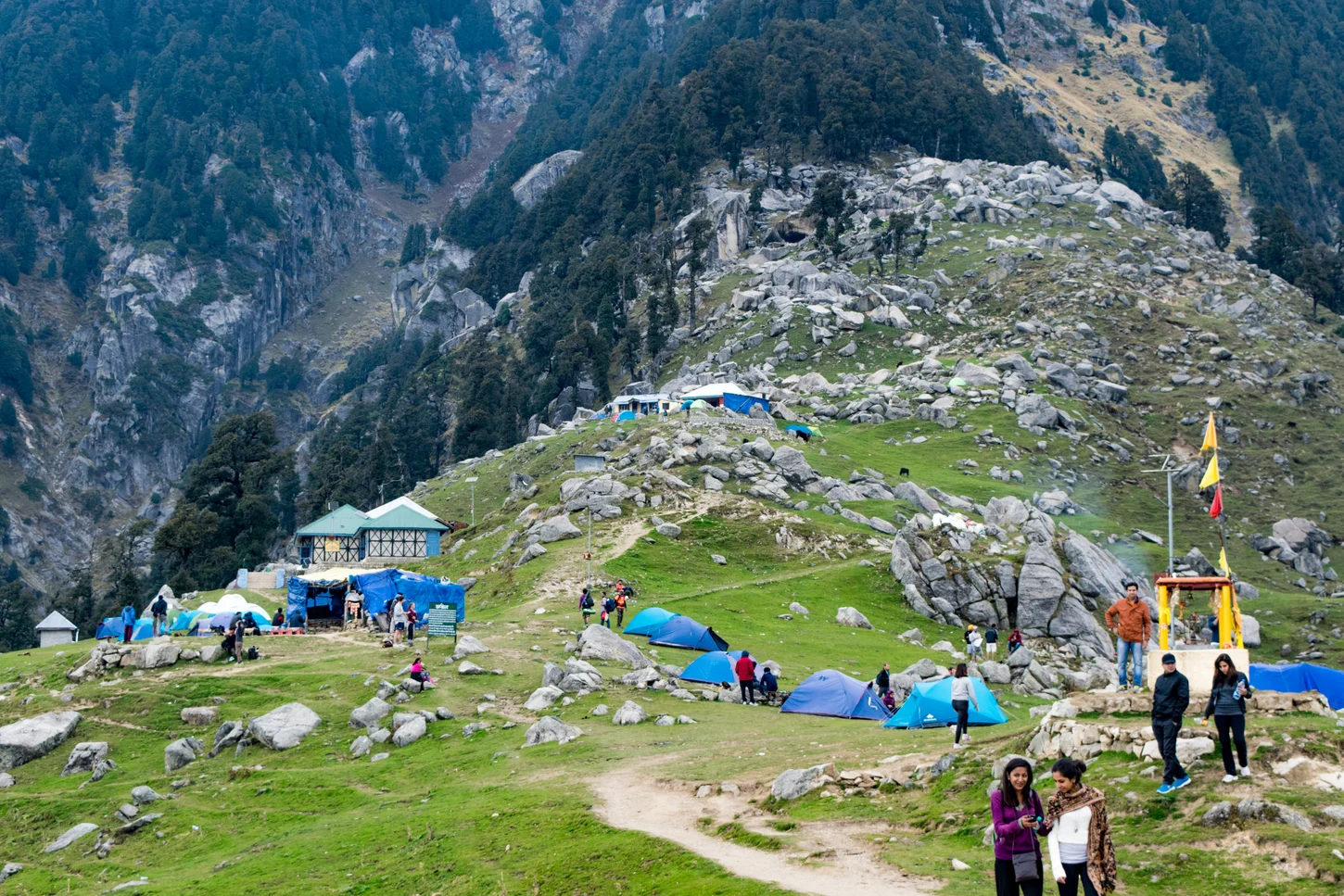
Ridge Setting and Valley Panorama
The meadow bench clears the treeline on the southern aspect of the Dhauladhar wall, opening a view across the Kangra valley. Above the clearing, the terrain steepens toward Laka Got and Indrahar Pass, a documented passage linking Kangra district to Chamba across the main Dhauladhar divide.
Bhagsunag Route and the Galu Shrine
One surveyed Forest Department route ascends via Bhagsunag, passing a temple and waterfall before gaining the ridge. The Galu temple, recorded in district accounts, has served as a fixed landmark on the approach for generations of travellers climbing through the forested mid-elevation zone of oak, deodar, and rhododendron toward the meadow.
The Twenty-Two Curves and the Rest House
The final section of the main path is identified on the Kangra district website as the "22 curves," a series of switchbacks ascending to the ridge crest. A Forest Department rest house at Triund appears in district records alongside the Galu temple as infrastructure marking the meadow's function as a waypoint on the route toward Indrahar Pass.